We make real-world structures digitally usable.

Over 100 clients across Germany trust intensor




Expertise for your industry
All building details at a glance

Fully editable models tailored to your requirements. Compatible with all standard CAD software systems.

Prepare your building for the future with accurate and up-to-date data
Seamless 3D scans for industry
No measurement errors, no delays, no ambiguities. Get the optimal foundation for clean, future-proof factory and production planning now.

High-precision models even for complex structures. Forget uncertainties about the state of your property once and for all.

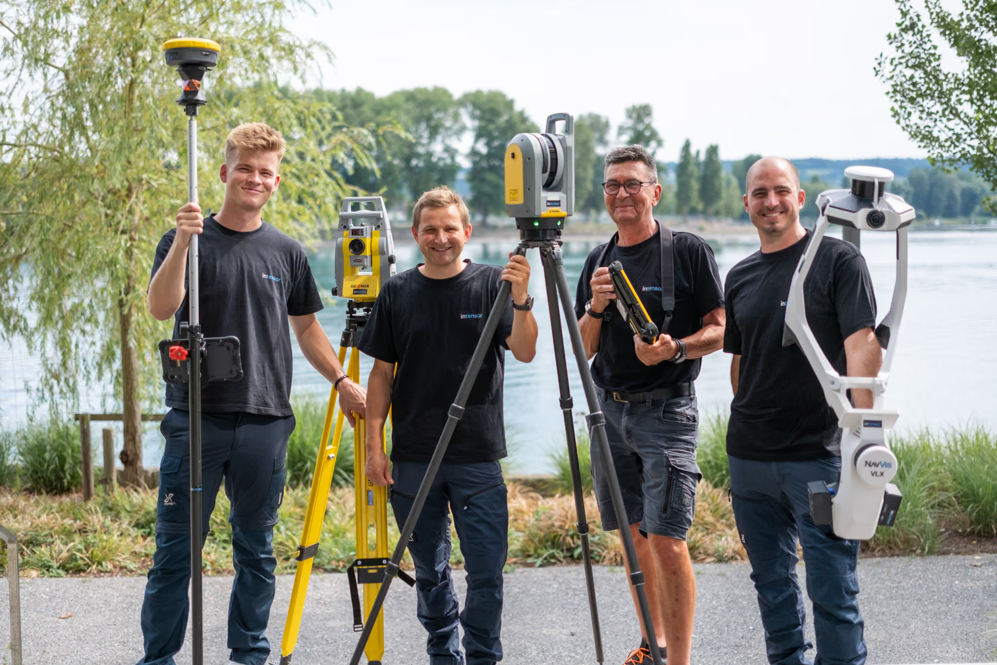
We combine various technologies to map your building, including machinery, according to your requirements.
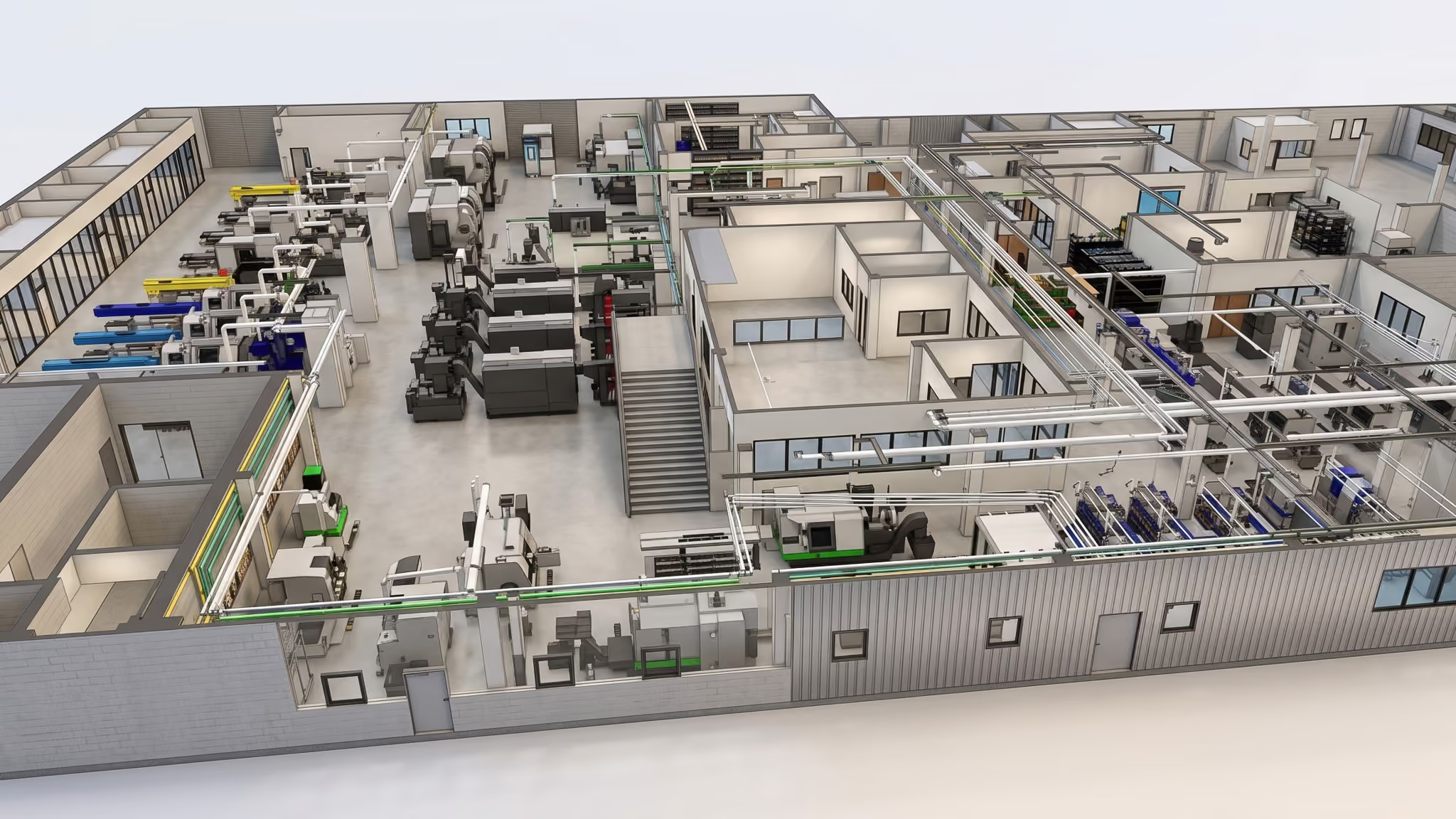
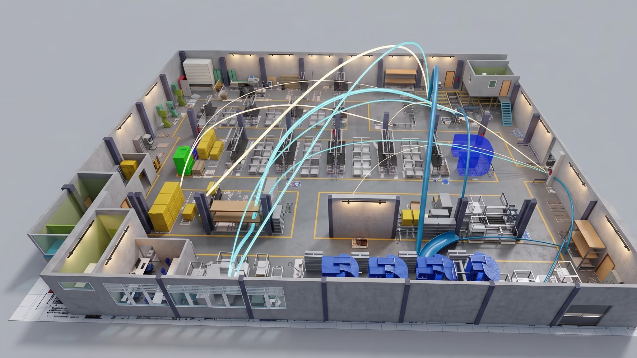
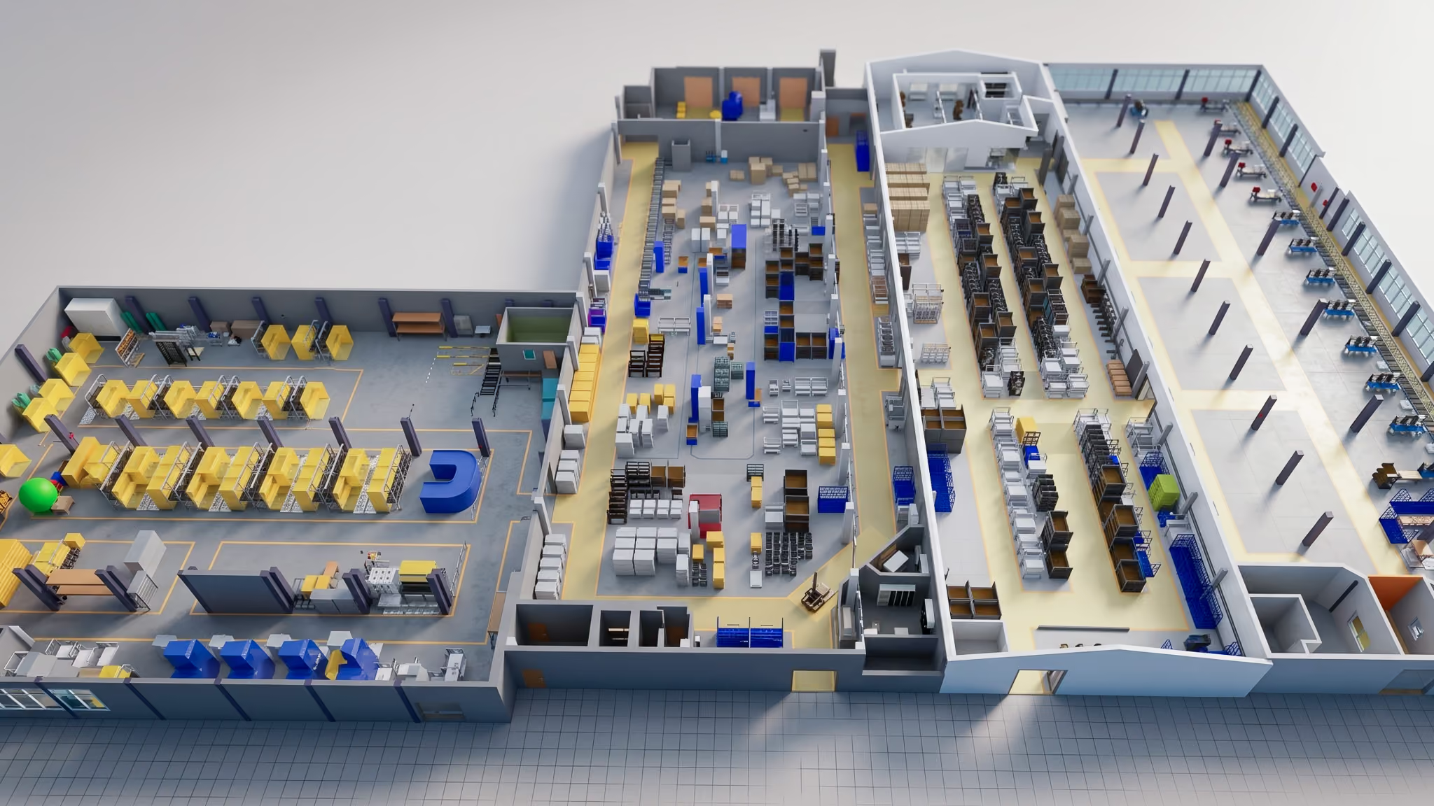
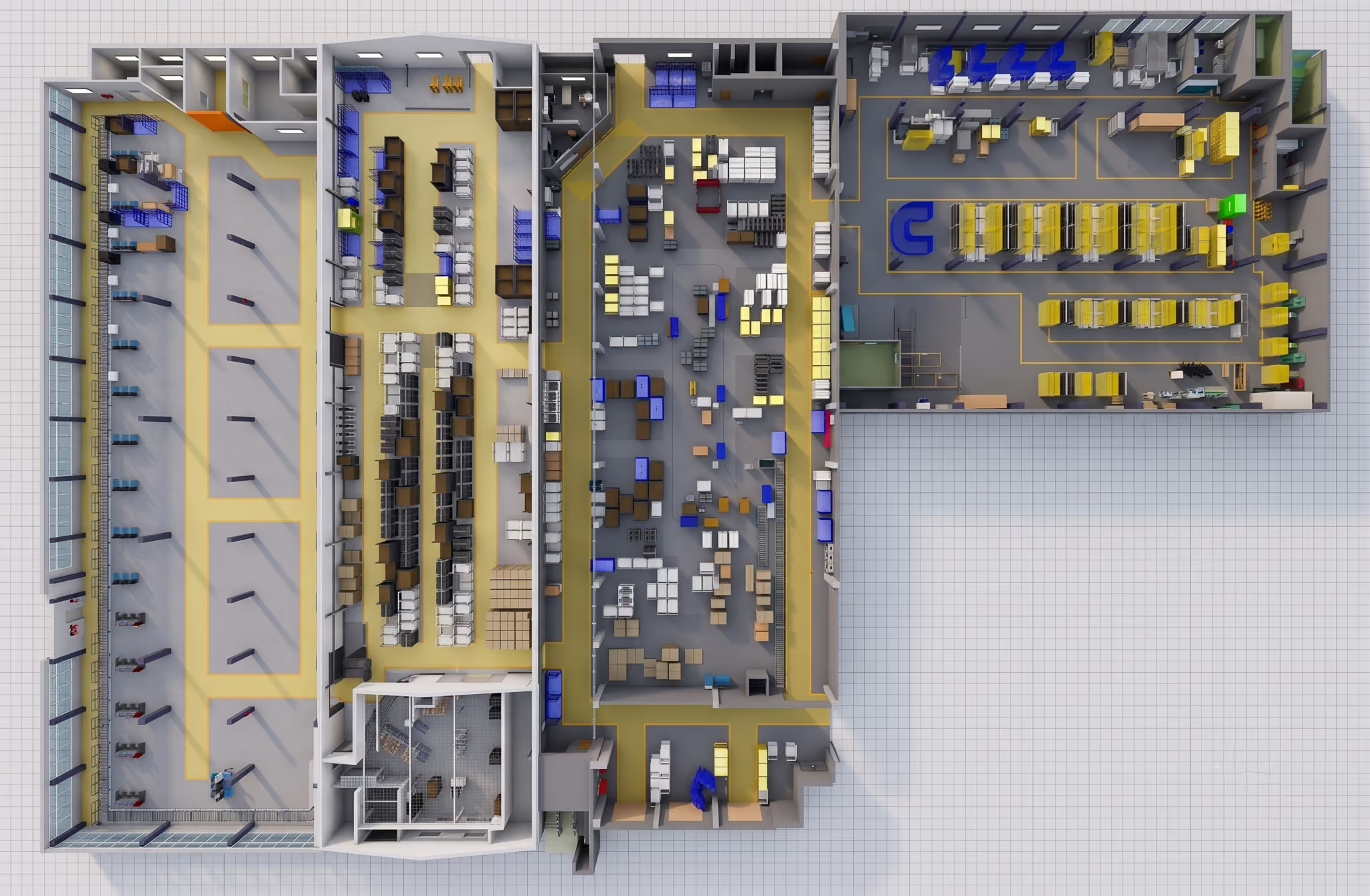
Our modern 3D laser scanning technology offers you countless advantages:
Get your digital building data in 3 steps
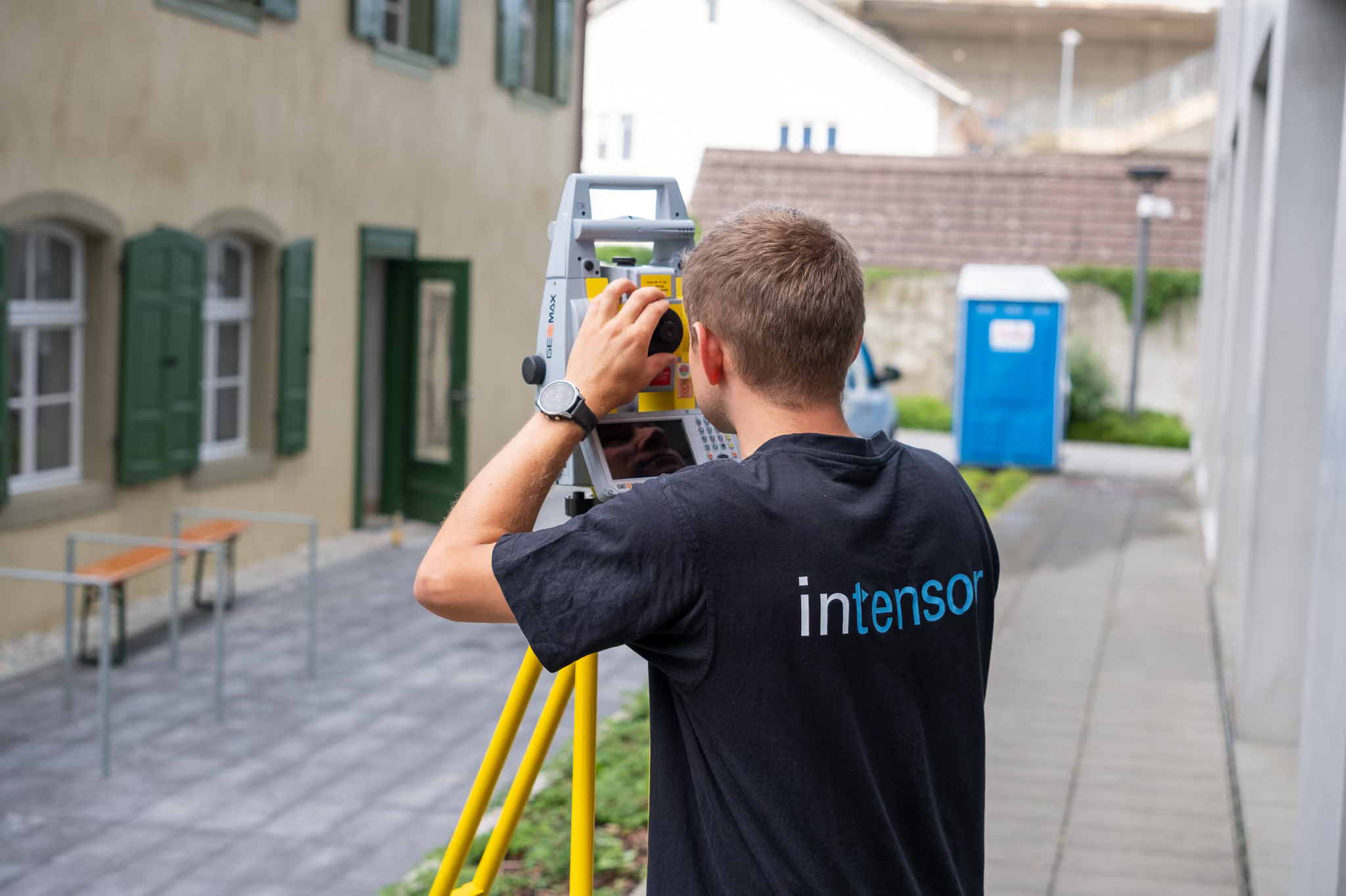
Precise on-site capture
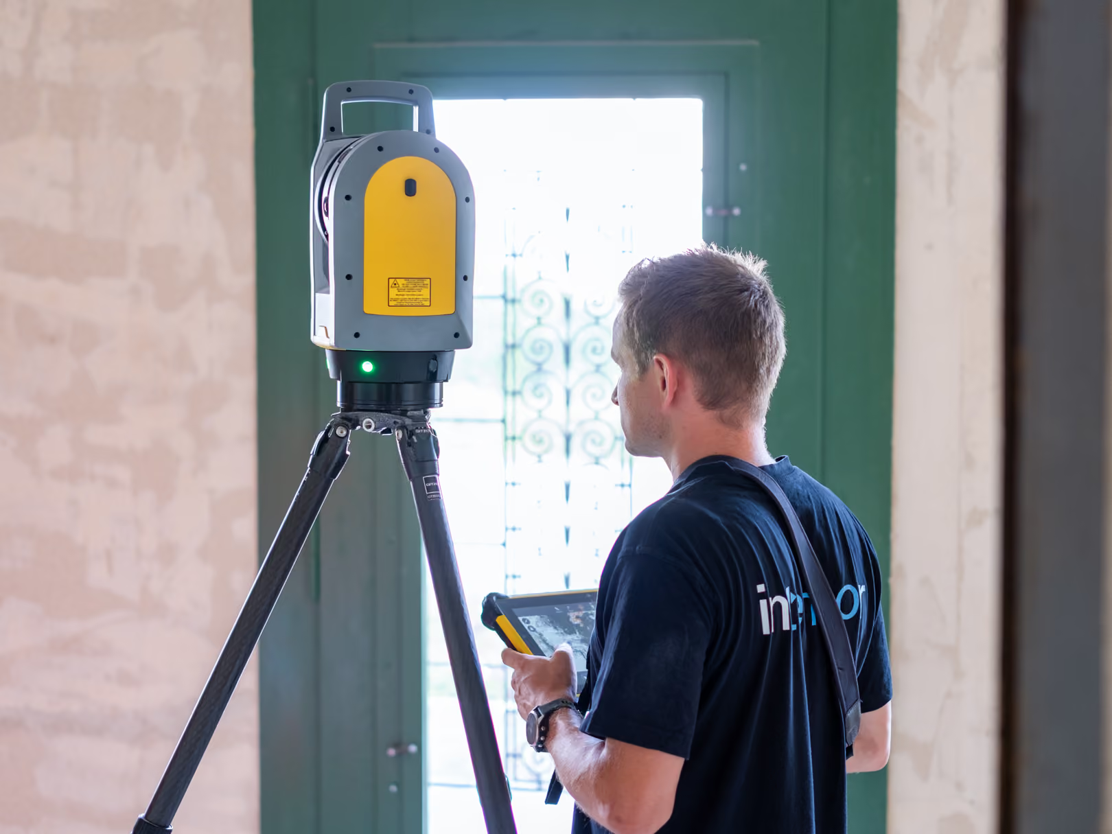
Our experts come to your site. Using state-of-the-art 3D laser scanners, we capture every angle with millimeter precision, contact-free and extremely quickly.
Cloud access & data processing
Our team then processes the data and makes it available to you via NavVis IVION. This allows you to access your 360° photos and 3D point clouds in no time, via the cloud and independent of your browser.
Try IVION now.
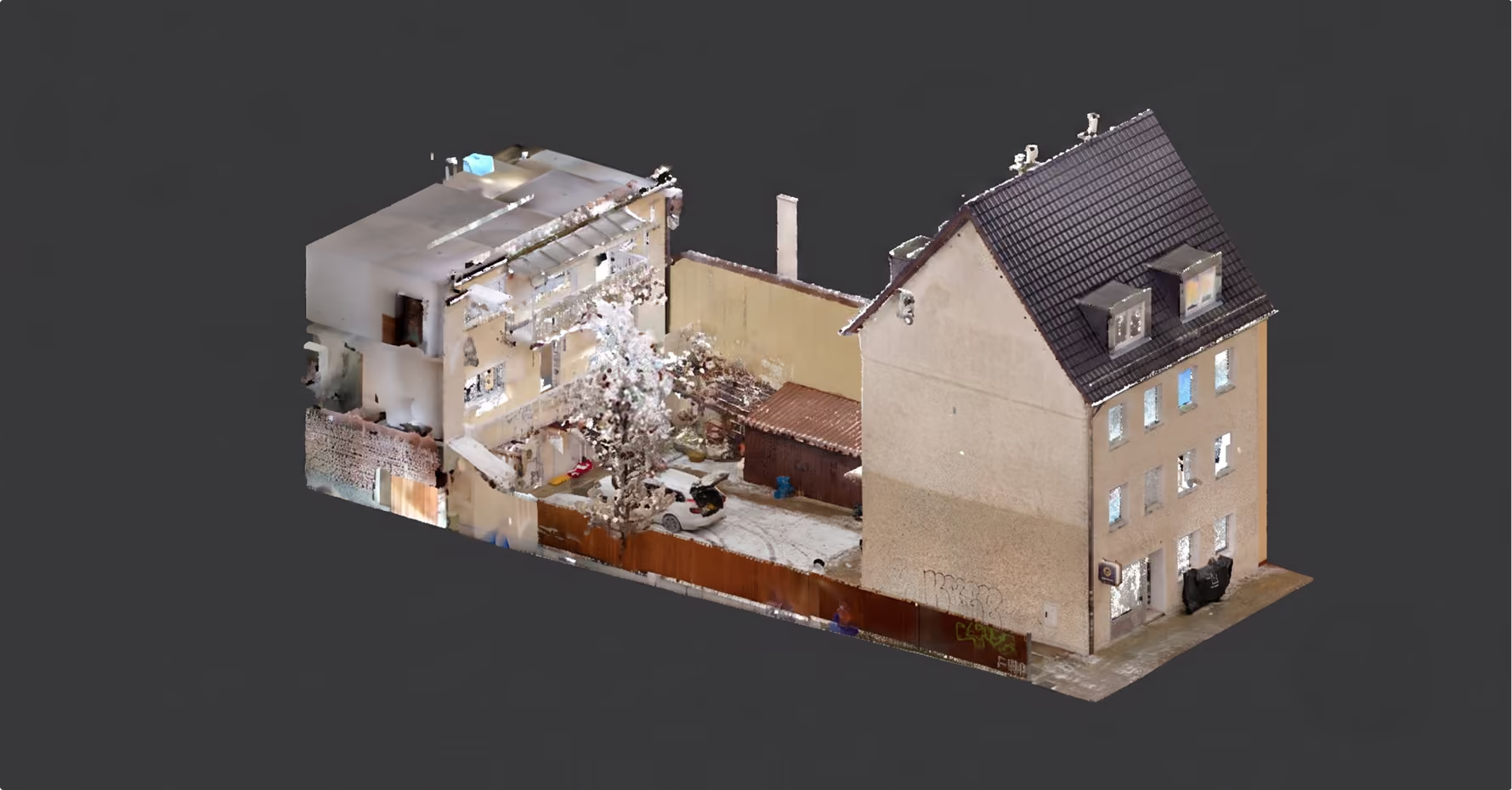
Tailor-made 3D models & 2D plans
We use this data to create exactly what you need for your project: either an intelligent 3D BIM architectural model for digital planning or classic, reliable 2D drawings.
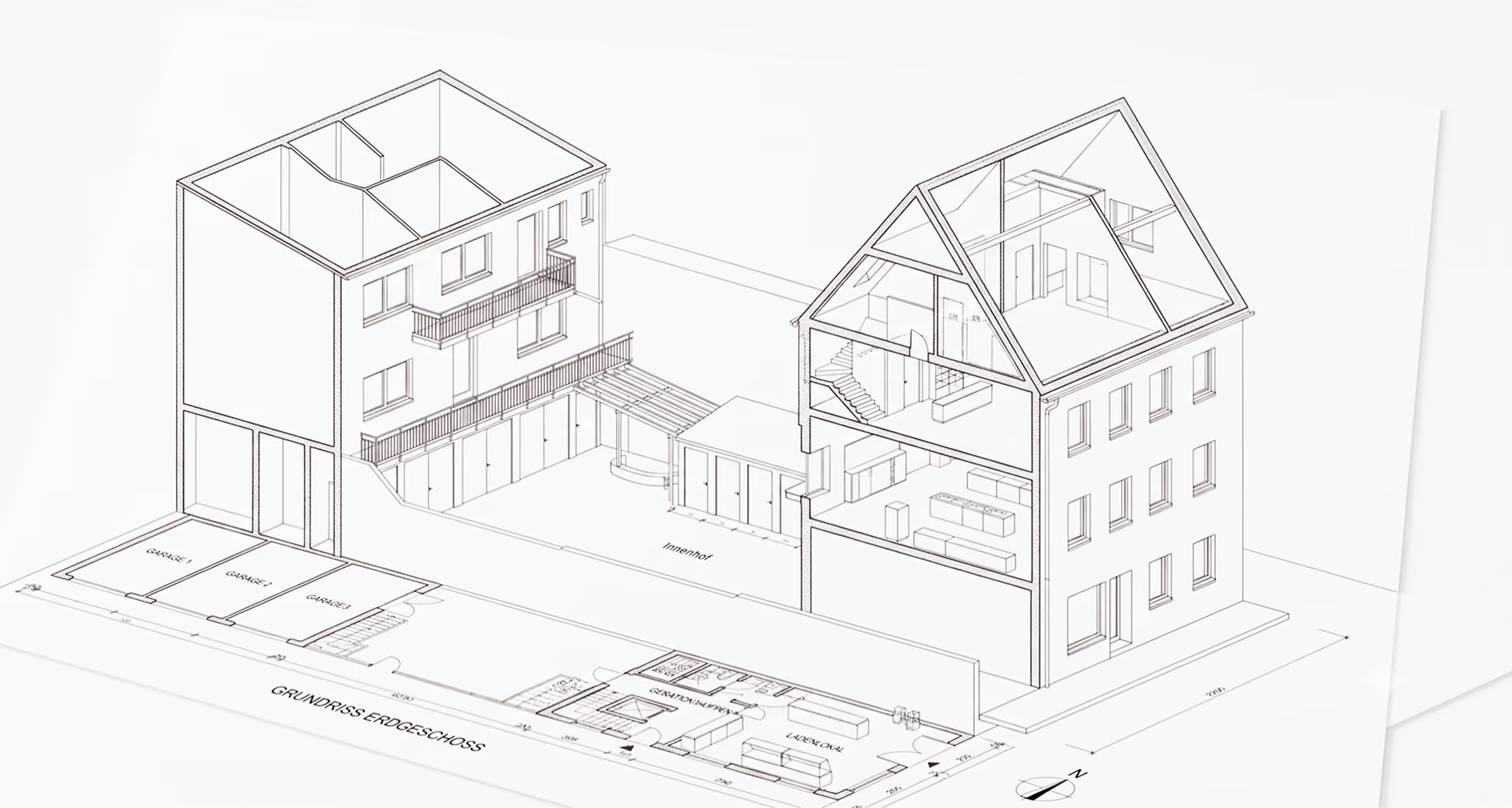
Our specialized services
About us
We are a young, dynamic company specializing in the capture and targeted processing of digital building data.