3D Scanning & 2D/3D Modeling
Three steps to your digital twin
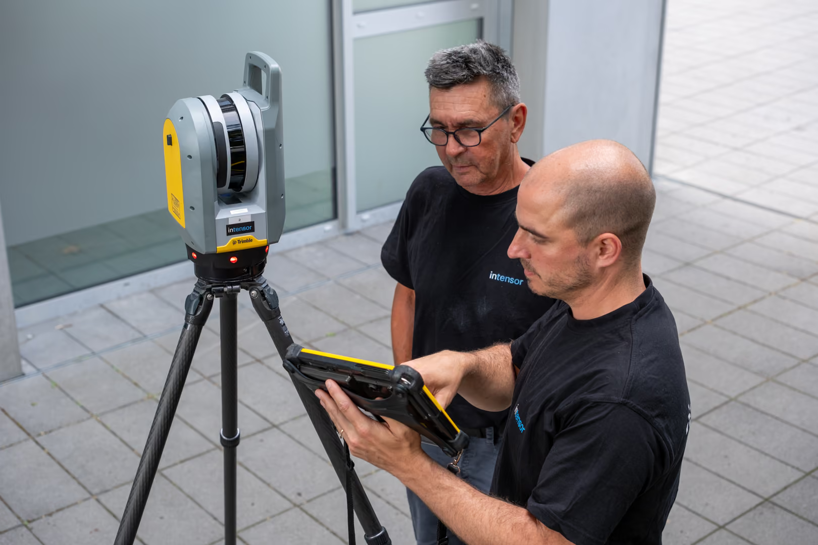
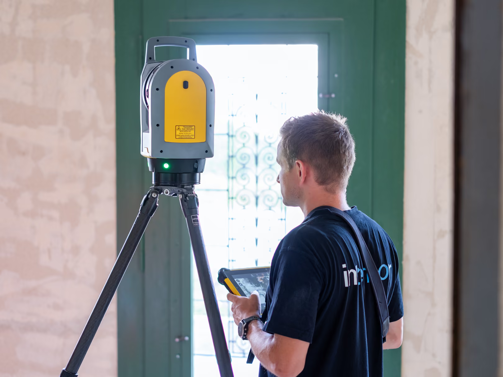
Precise on-site capture
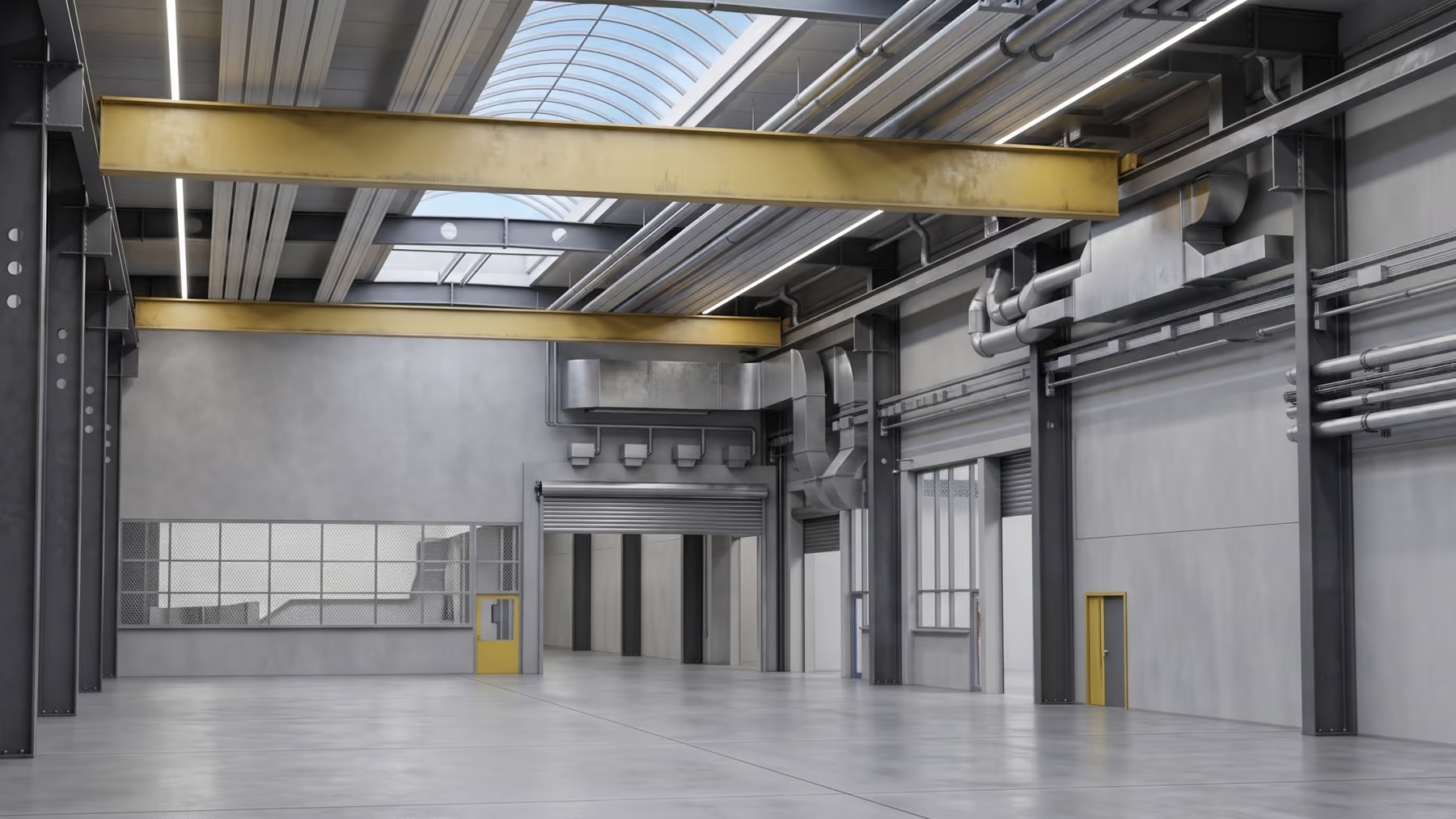
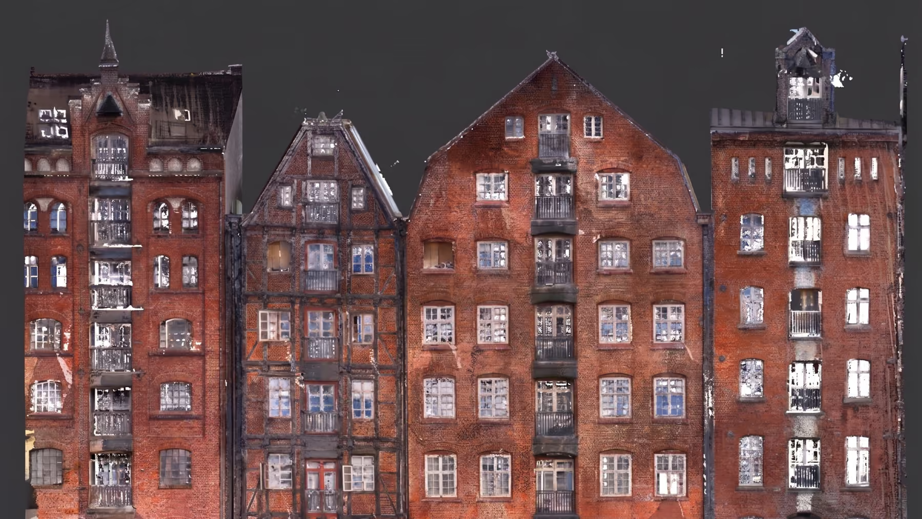
We bring state-of-the-art hardware to your site and perform a laser scan directly on location. Whether it's massive industrial halls or rugged terrain, we capture the current state contact-free and extremely quickly.

Inspection & As-Built Verification
Existing condition capture & surveying
Digital archiving of current conditions
BIM process & construction
Measurement, billing & deformation analysis
Planning basis & client presentation
From the construction site to your PC
We provide the captured data in a simple and user-friendly way on the browser-based IVION platform. You can log in from anywhere, take a virtual walkthrough of the building, and take measurements directly in your browser.

horizontal, vertical, and freely in 3D or the floor plan level

No installation required and includes export of measurement reports (.pdf)
Level of Detail: Precision as required
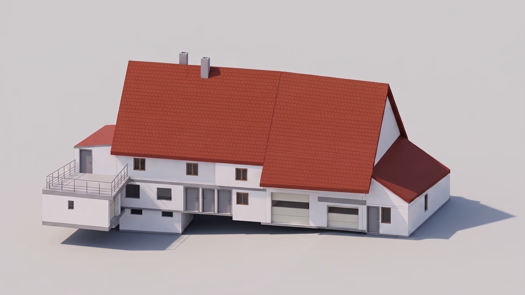
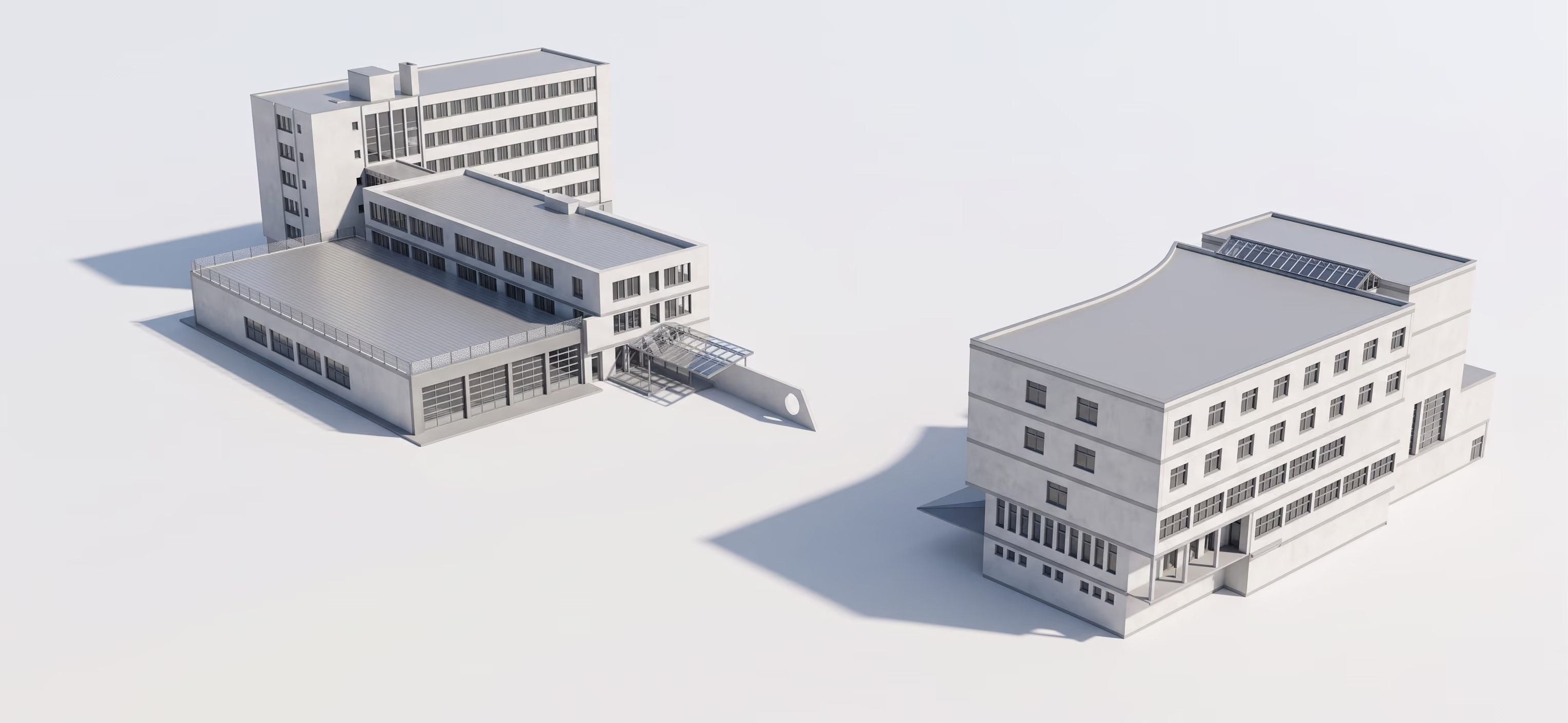
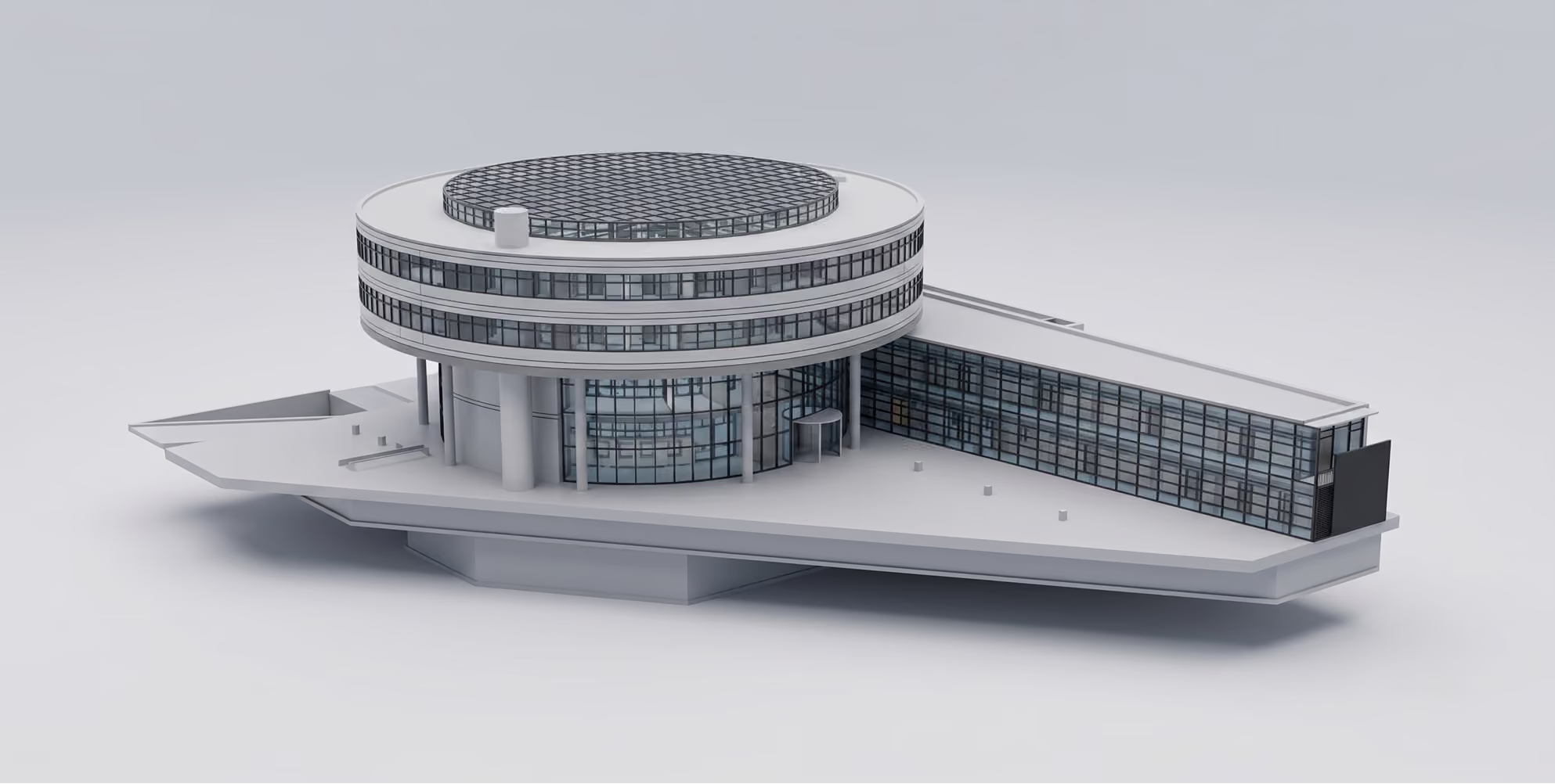
Depending on the application, we model your project with the appropriate level of detail – from simple volumetric representations to fully developed BIM models.
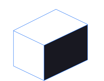
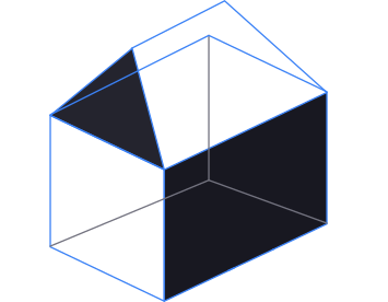
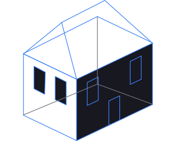
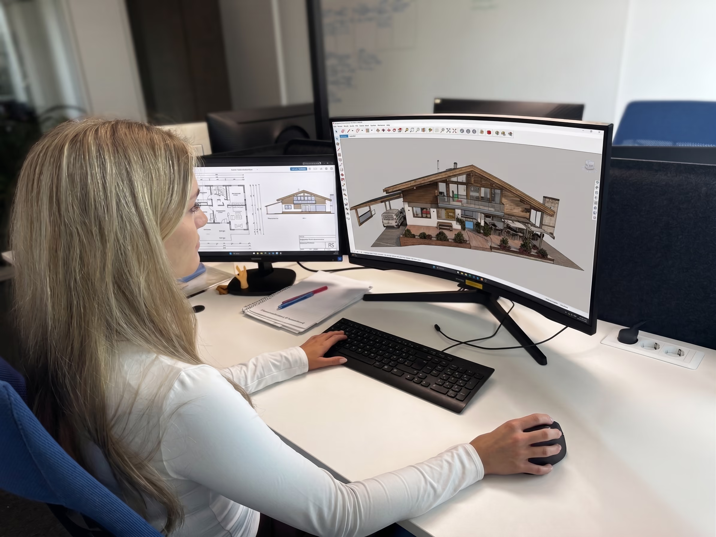
Further processing into intelligent 3D models & 2D plans
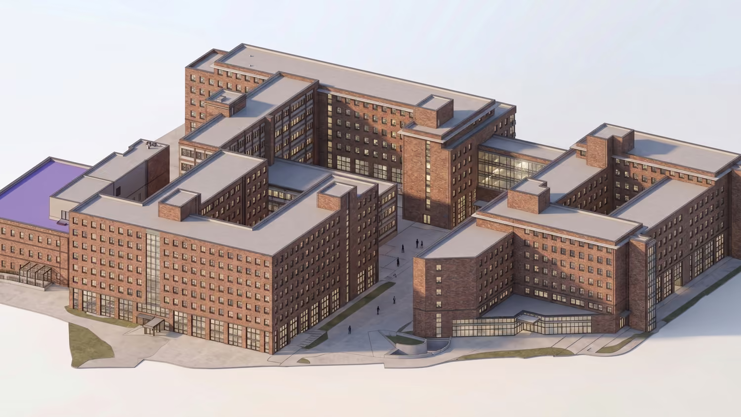
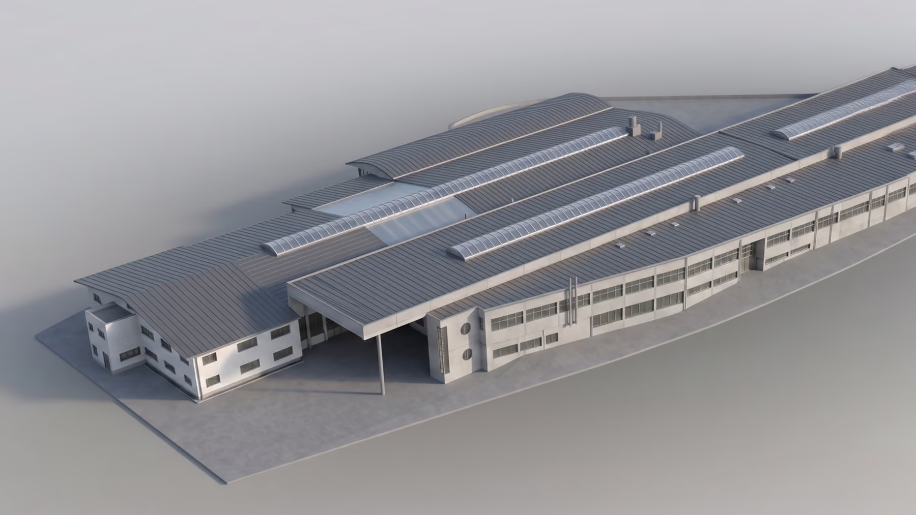
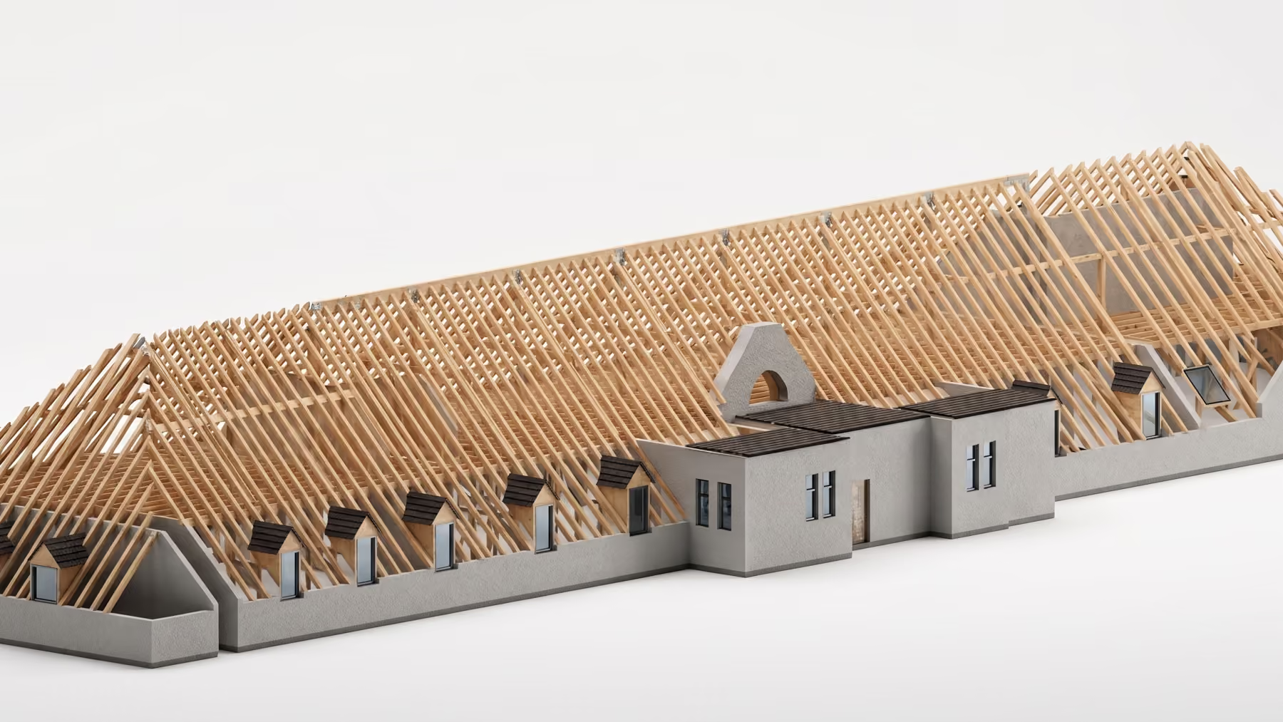
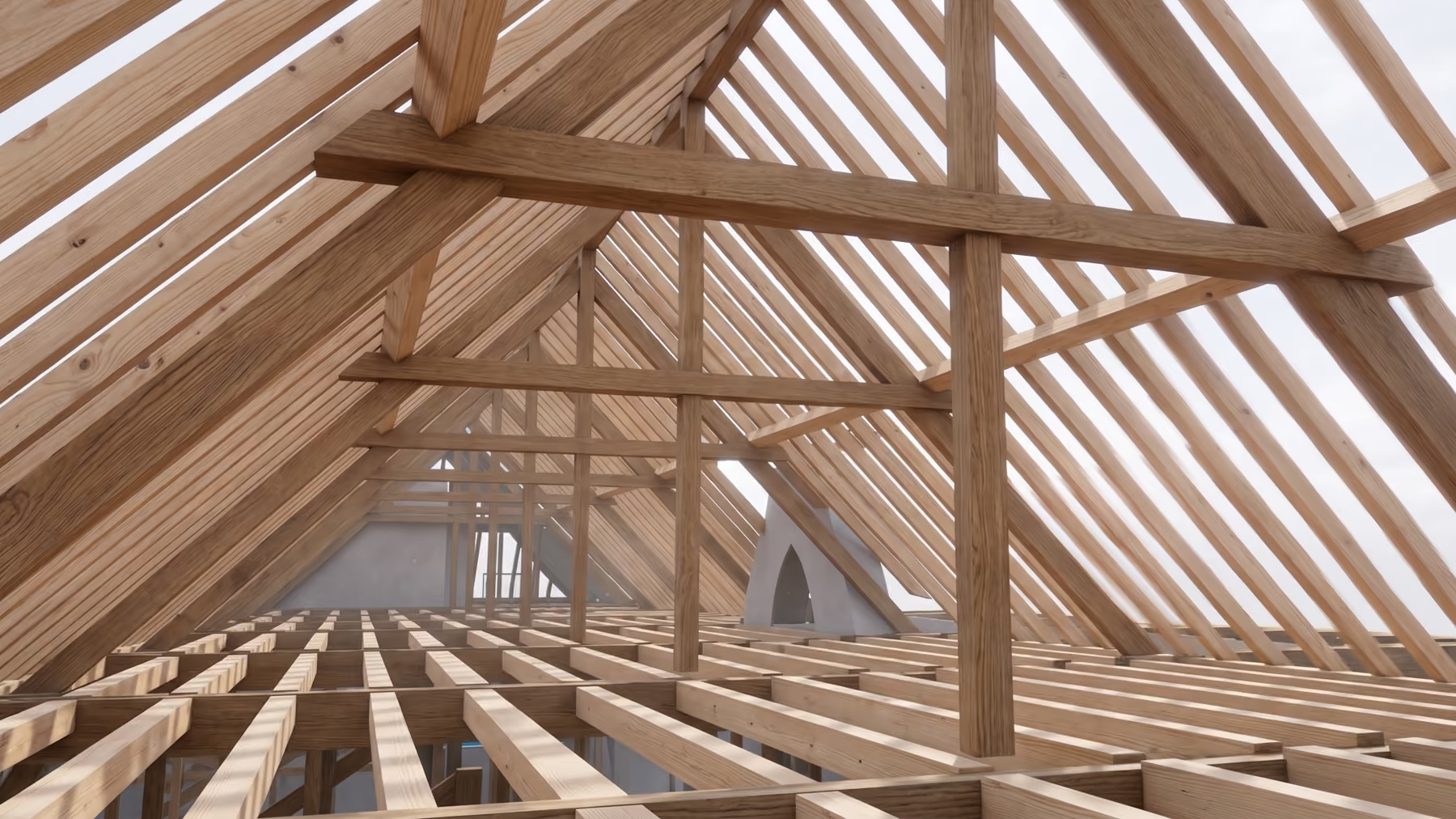
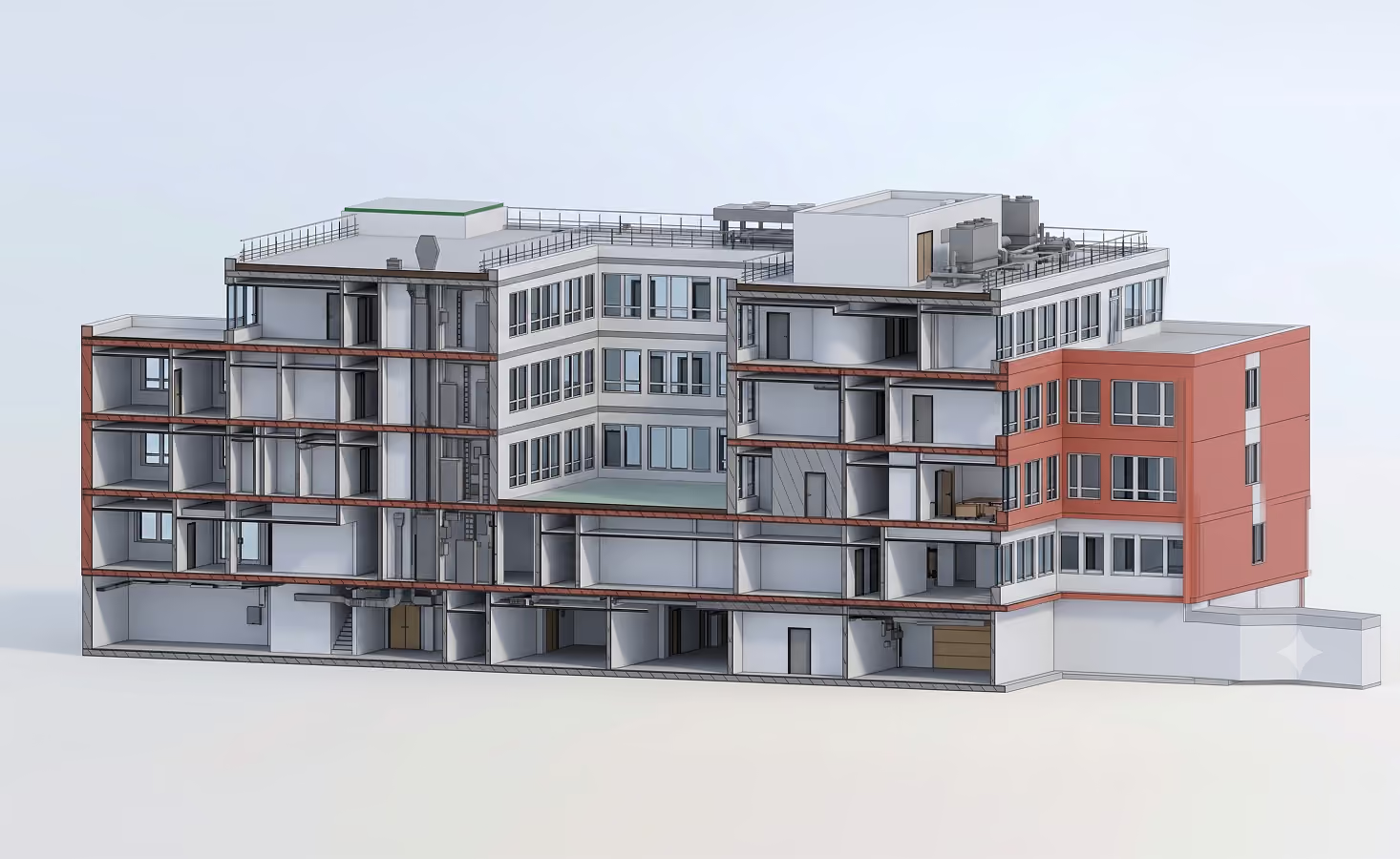
We model high-precision point clouds to create digital, true-to-life 3D architectural models. Ready for your specific BIM use case: After clarifying the requirements (EIR, BEP, LOIN), the models are enriched according to the required level of detail (LOD/LOI) and provided in the native BIM format ".ifc".
Classic 2D plans & drawings
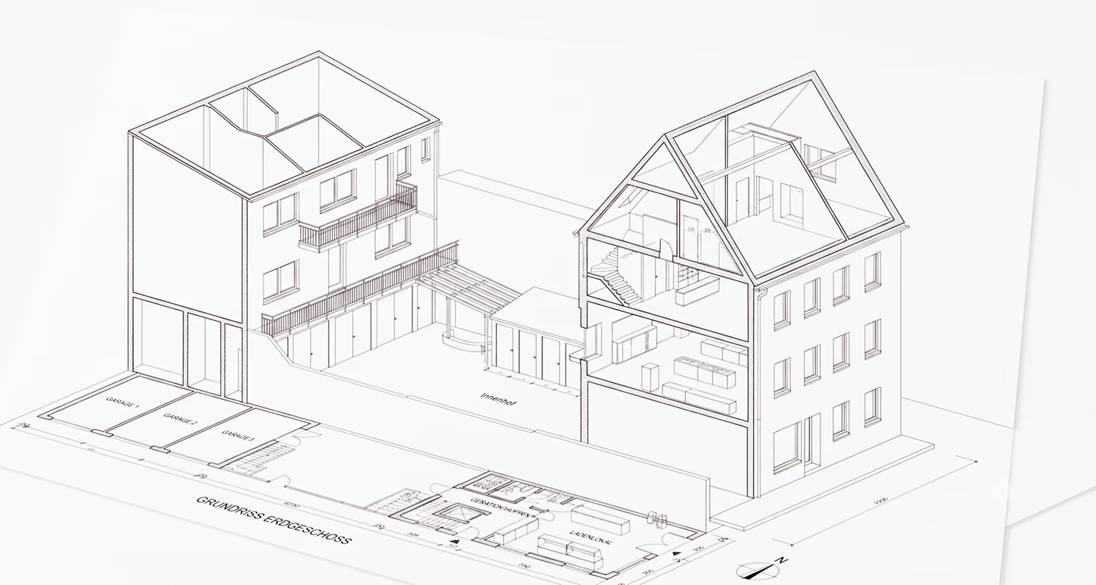
Do you prefer traditional planning? We derive all required 2D planning documents directly from the finished 3D model. You receive perfectly congruent, precise floor plans, sections, and elevations for your site management and documentation.
Deriving floor plans
Sections and elevations
Our Scanning Projects