Specialized Services
Point Cloud Processing
Point cloud processing
Precision down to the last point
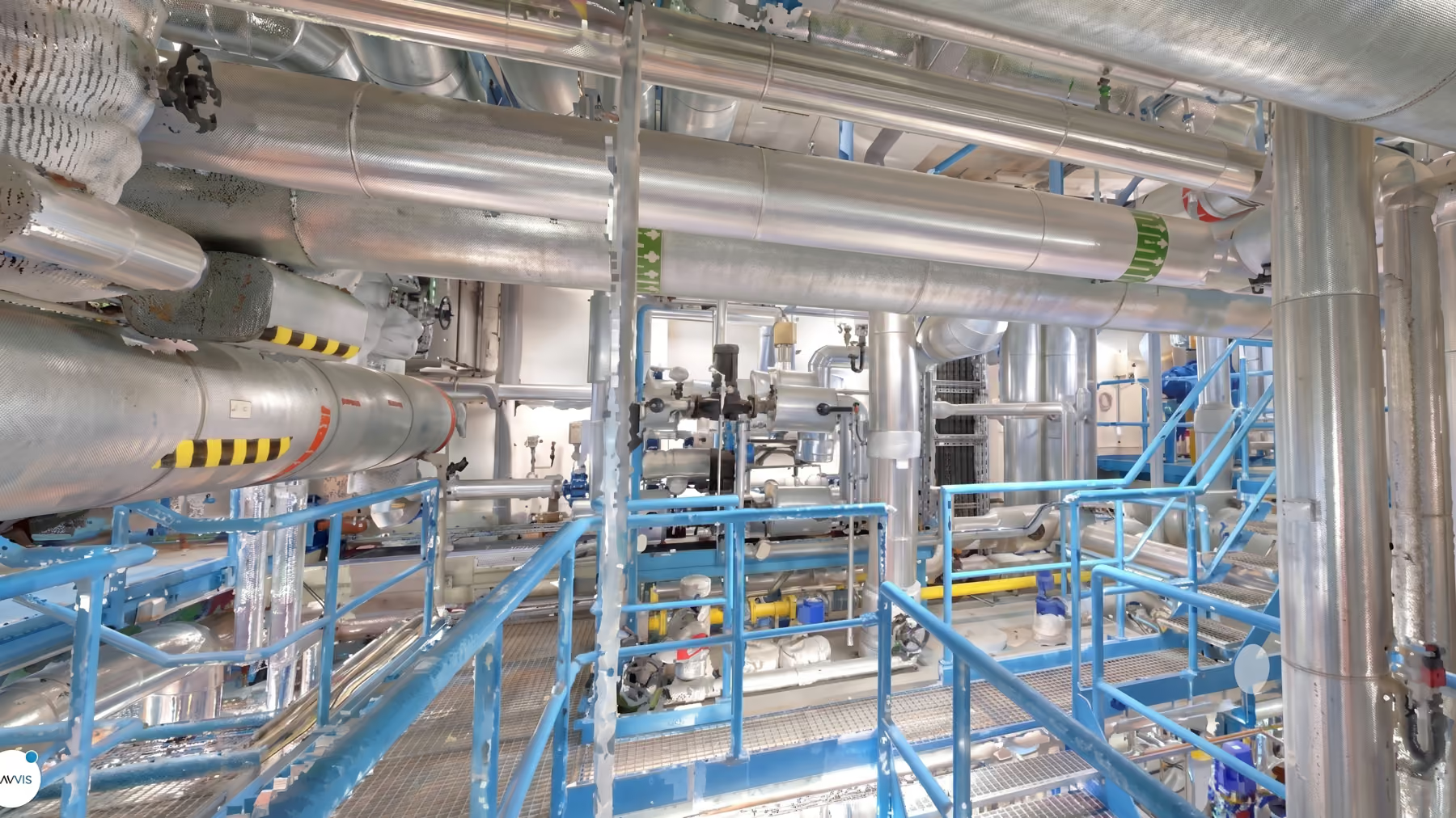
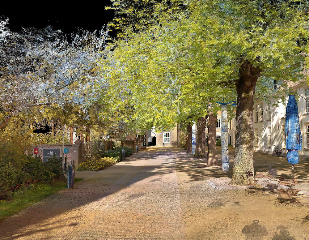
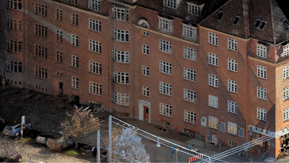
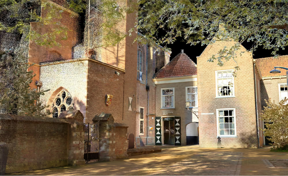
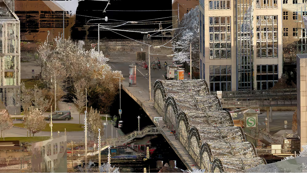
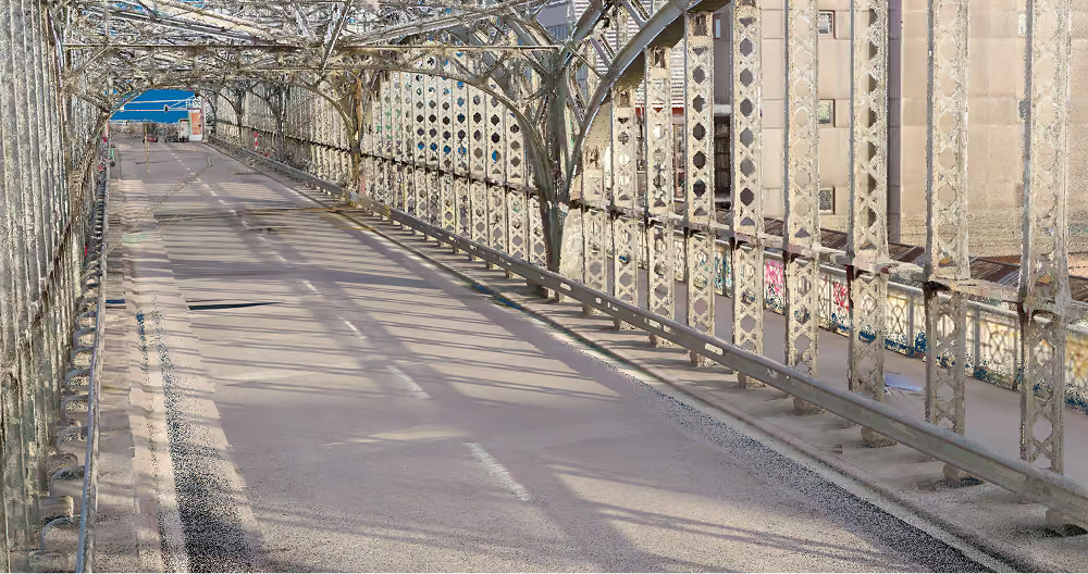
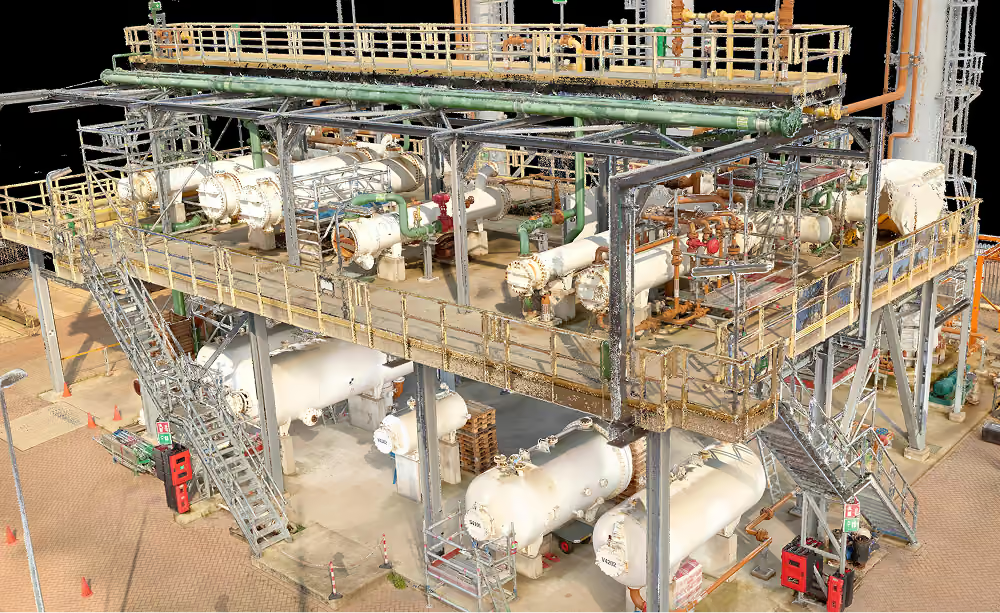
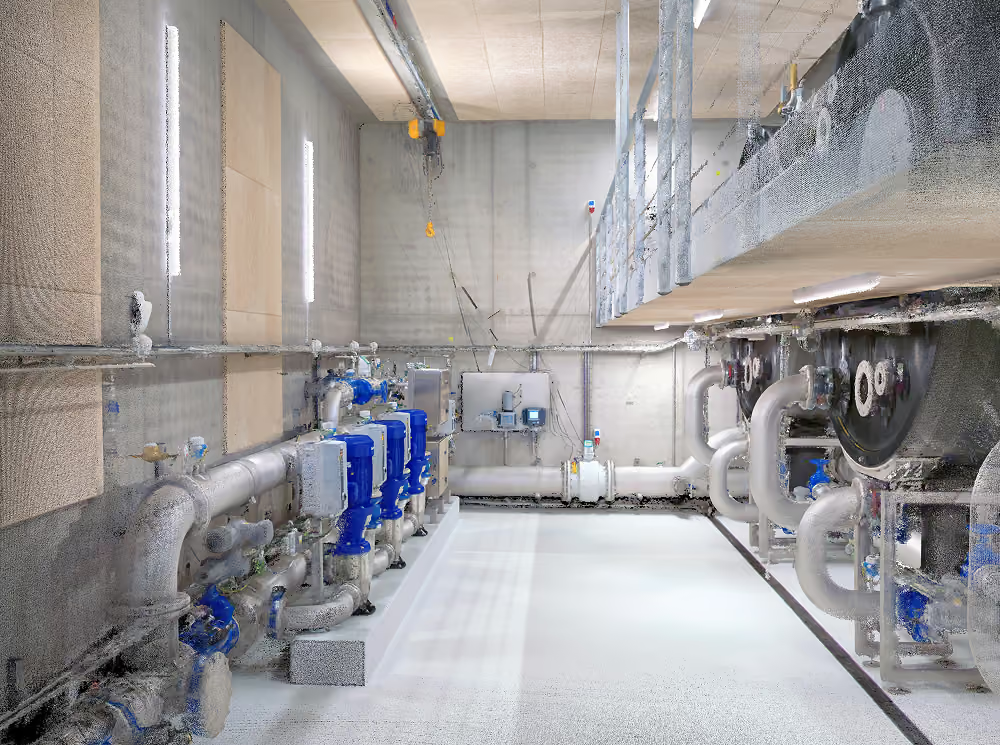
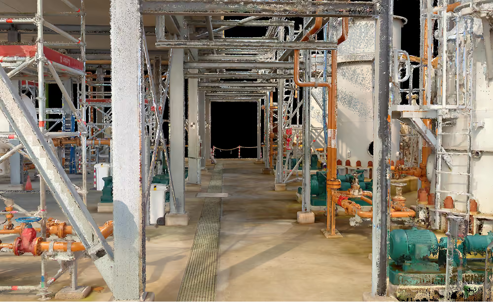
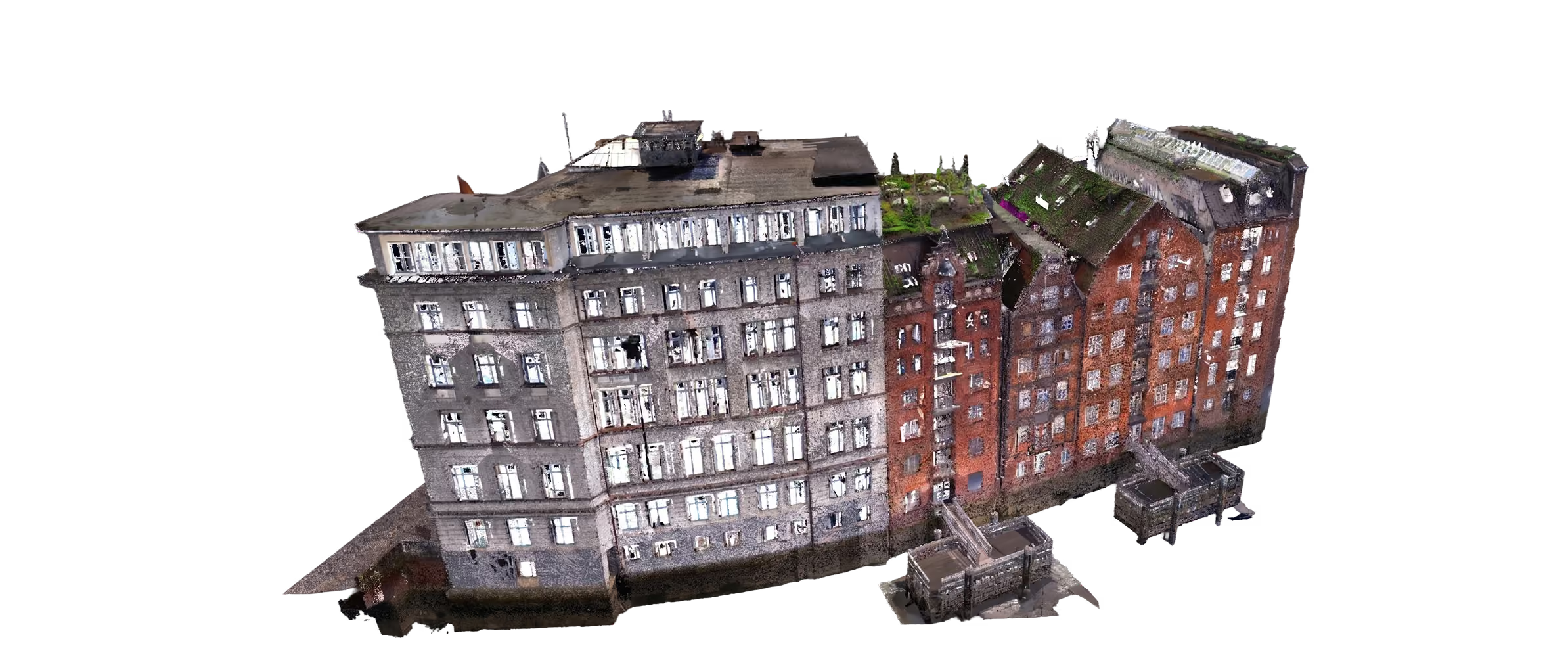
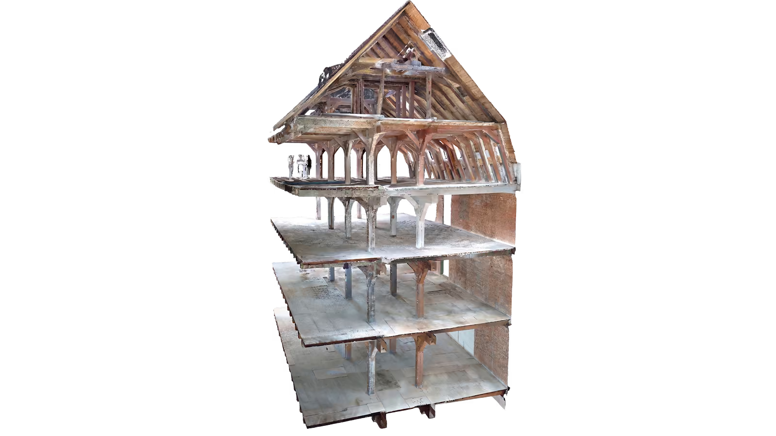
A point cloud is a collection of data points in three-dimensional space captured using laser scanning technology. Each point in the cloud represents an exact position in the form of precise xyz-coordinates. In this way, a point cloud maps the entire geometric structure of an object.
Point cloud reduction: Less data, faster results.
Intensor delivers point clouds tailored to your specific use case. This includes, for example, reducing and segmenting unnecessary points or adjusting the delivered resolution. This allows you to significantly reduce file sizes and optimize subsequent processing.
Applicable to various industries
(Interior) Architecture
Skilled Trades
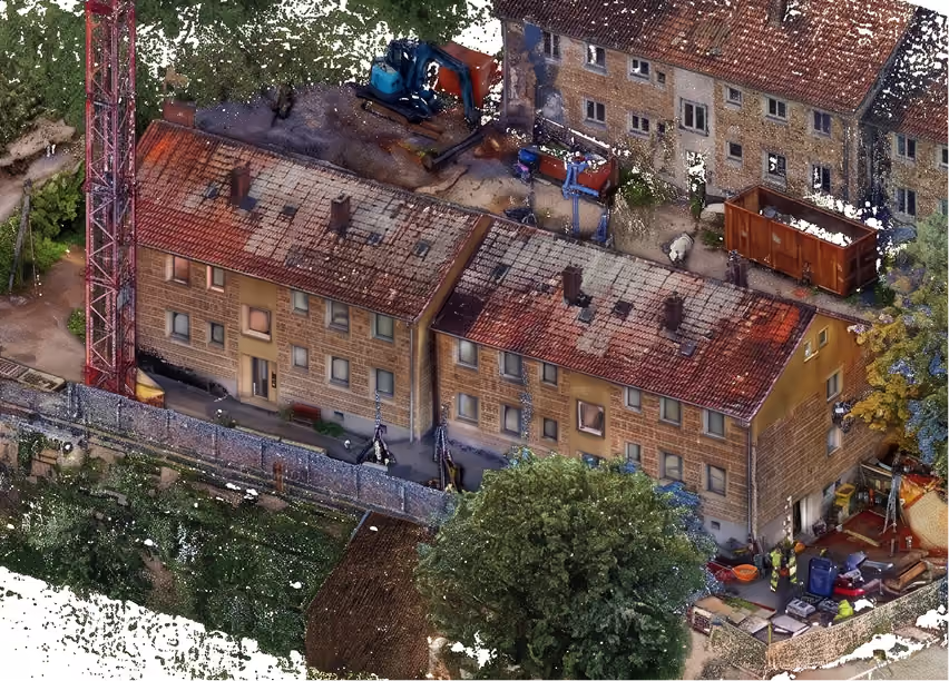
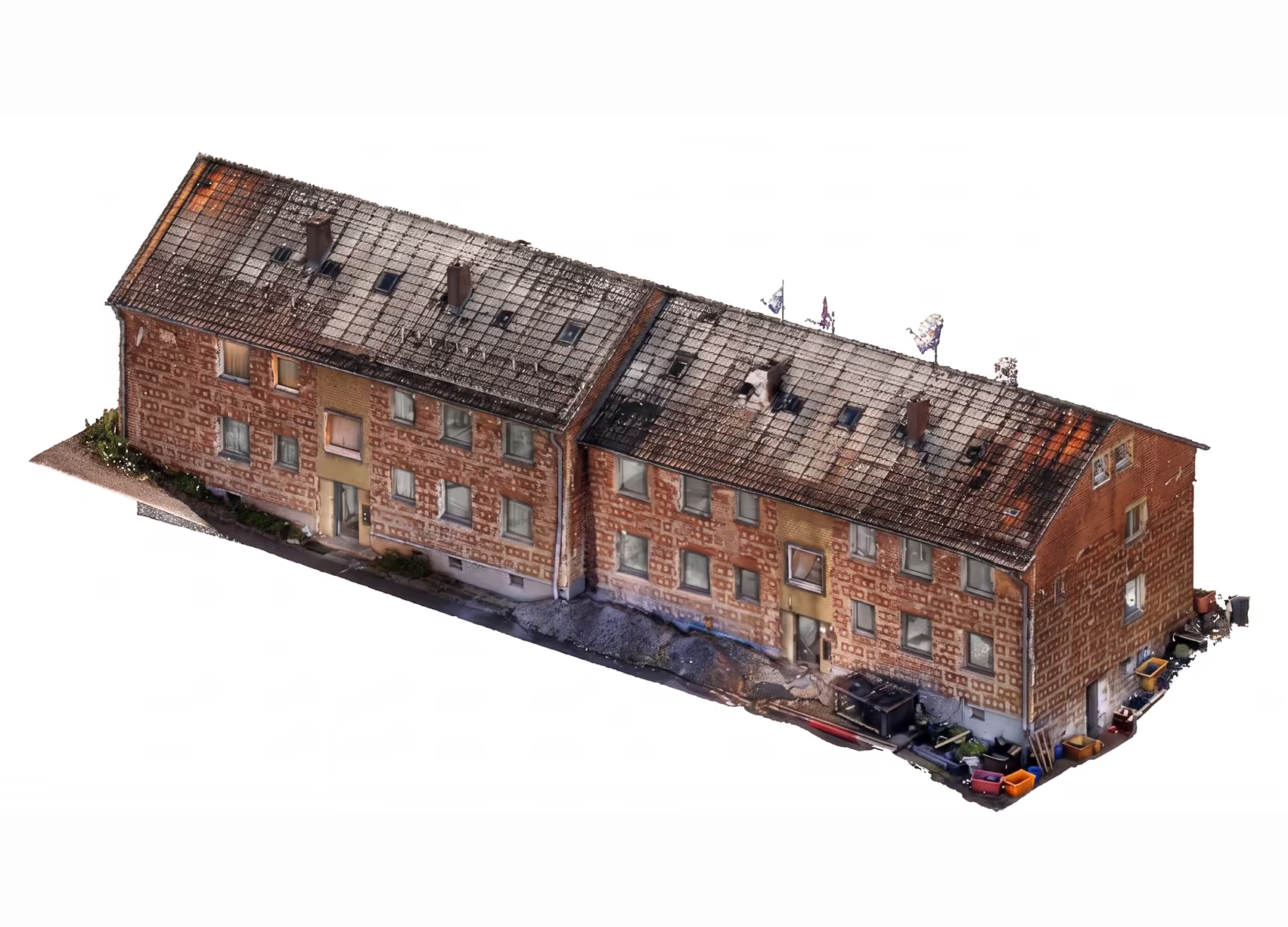
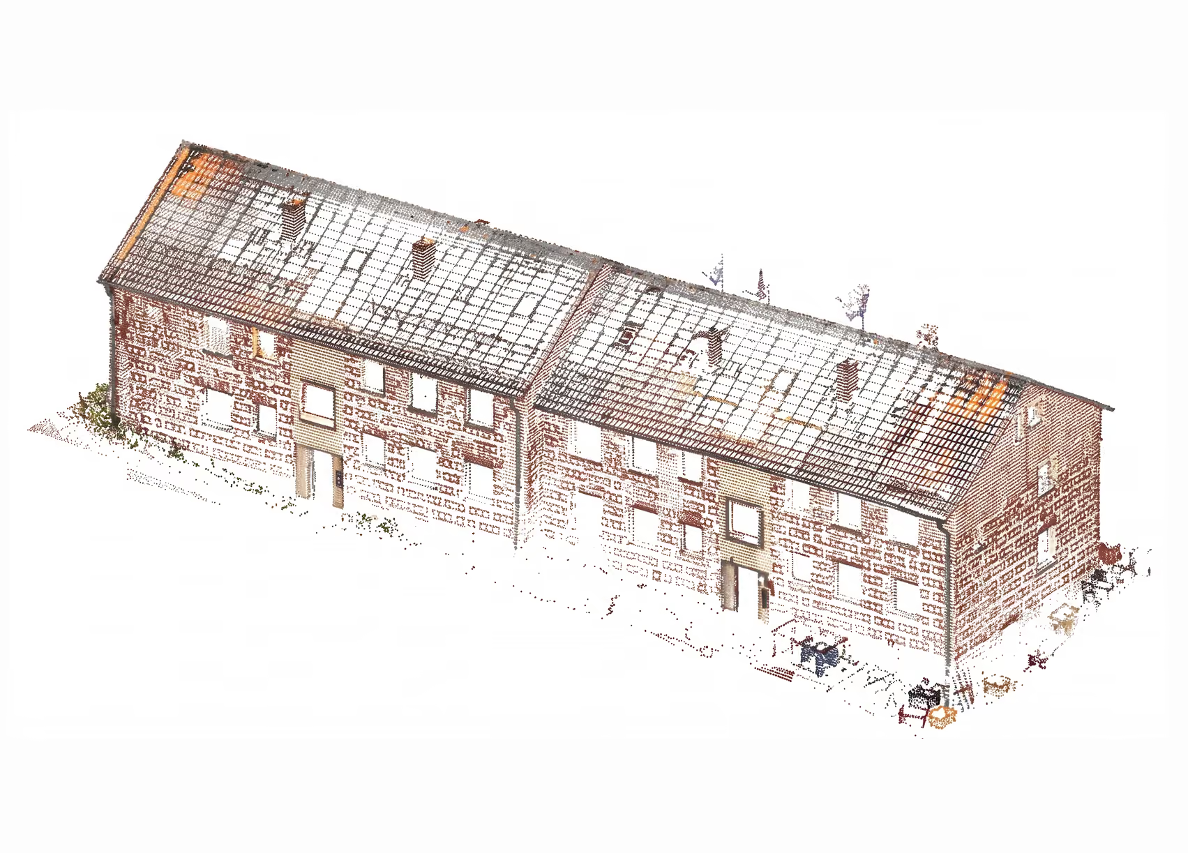
Click to see the difference
60GB
300MB
180Mb
Maximum precision, minimum data load.
More efficient design through pre-processed scan data

Rapid CAD design
Reduced point clouds enable smooth, stable performance in your CAD software without system crashes. Despite the small file size, all relevant edges are preserved for millimeter-accurate design, drastically accelerating your digital planning process.
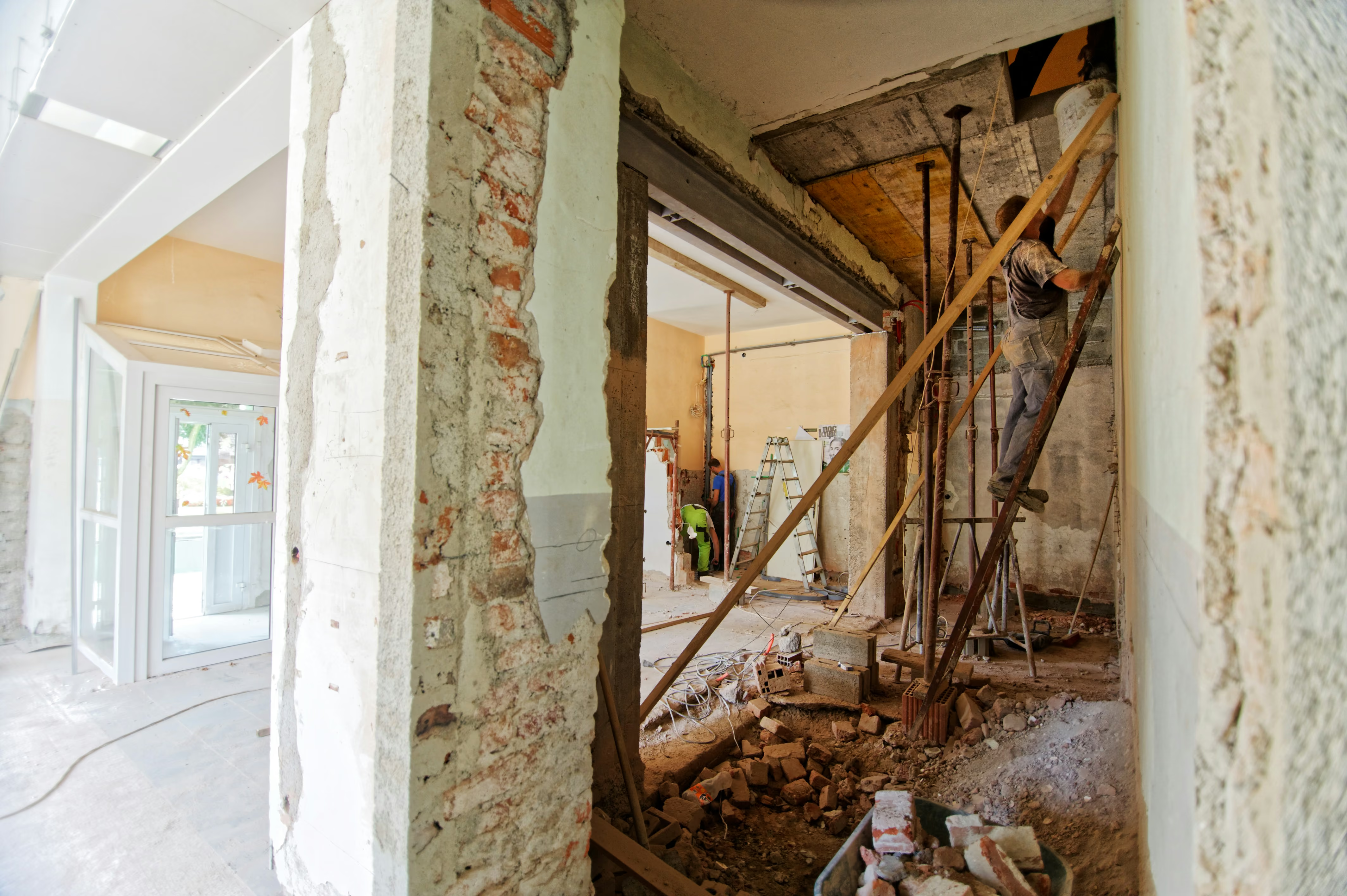
Collision detection
With the reduced point cloud, you have the exact geometry of the space (including existing beams, pipes, or openings). This allows you to plan pipelines digitally and run automated collision checks.
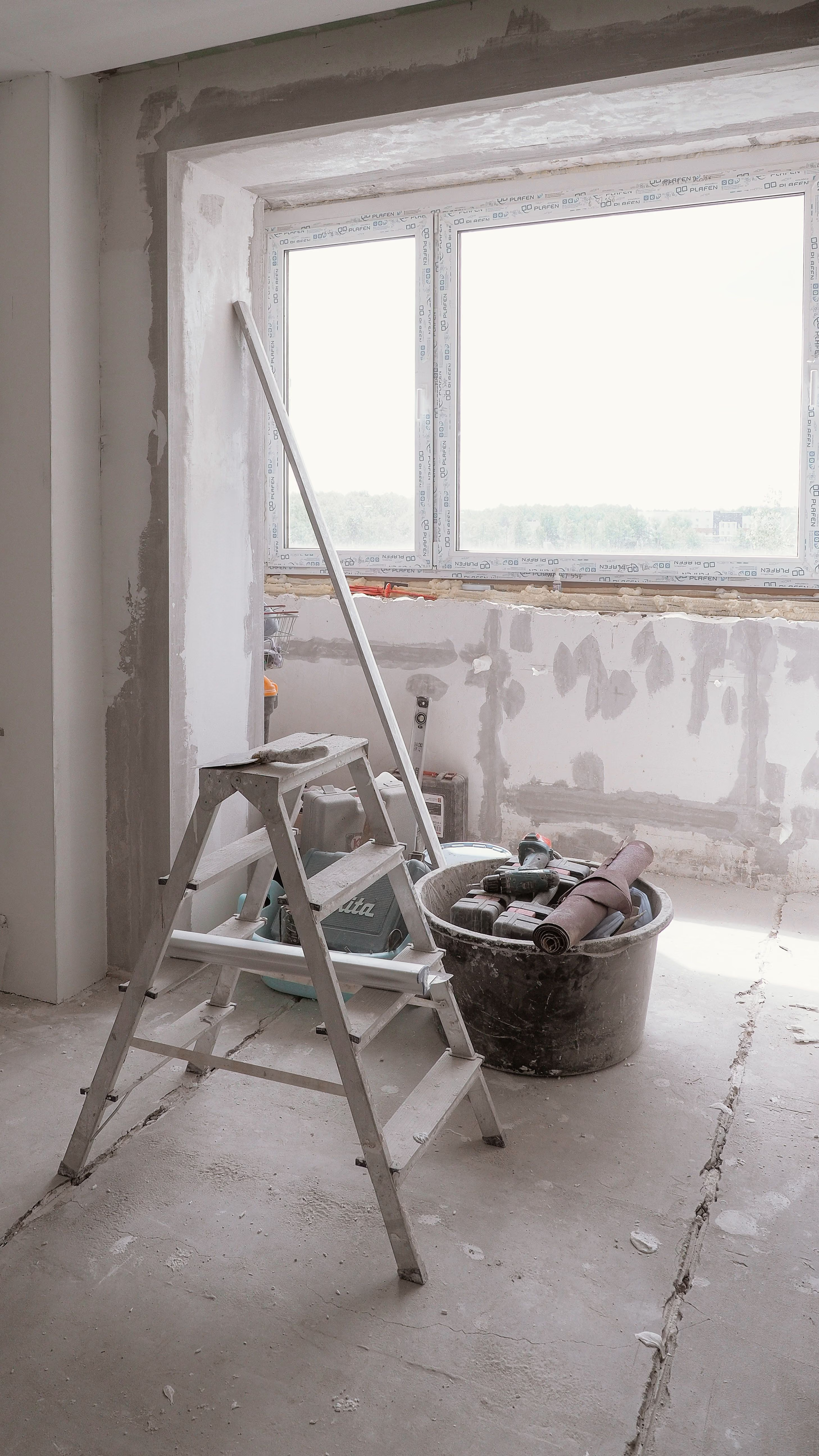
Target-actual comparison and quality control
The space is scanned before the screed is poured or after plastering. The reduced point cloud is perfectly sufficient for instantly identifying unevenness, ceiling deflections, or crooked walls using false-color analysis (heatmaps).