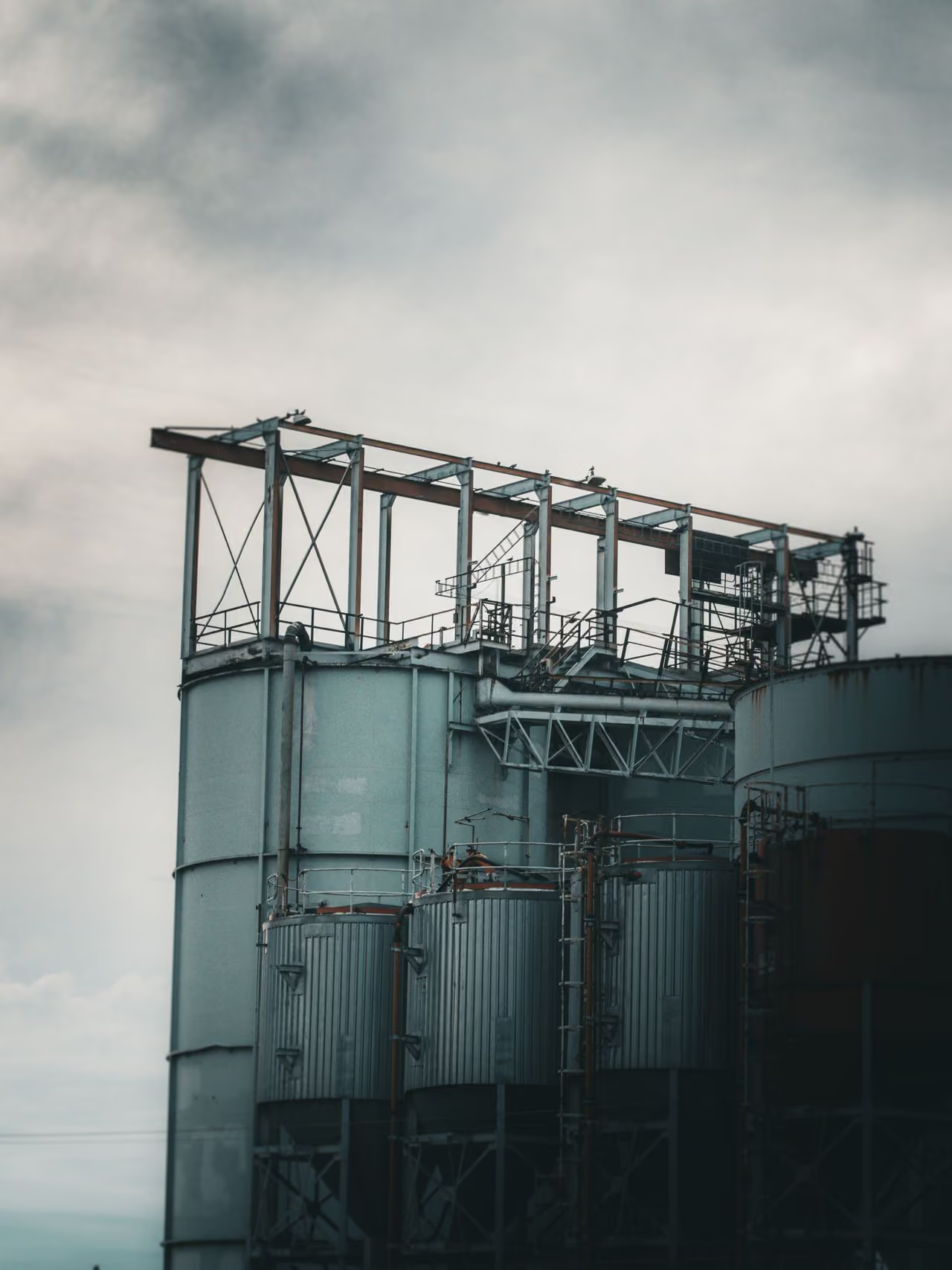
Precise volume calculation in a digital workflow
Using high-precision 3D laser scans or drone imagery, we capture complex terrain surfaces, excavation pits, and stockpiles with centimeter-level accuracy. You receive reliable, ironclad documentation of the exact volume—the perfect foundation for your inventory, logistics planning, and construction billing. A point cloud thus maps the entire geometric structure of an object.
From point cloud to precise volumes
Rapid site or construction area surveying using drones or 3D laser scanners
First, the point cloud of the site or construction area is captured and imported into specialized software.
Defining the reference plane
Next, a reference plane is defined—typically the ground or a floor slab. The relevant areas within the point cloud are then marked to specify the volumes to be calculated.
Volume calculation
Die Software berechnet dann automatisch die Volumina basierend auf den Höhenunterschieden zwischen den Punkten und der Referenzebene. Diese Methode ermöglicht eine präzise und effiziente Bestimmung von Erdarbeiten, Materialmengen und anderen volumetrischen Aspekten im Bauprojekt.
Benefits of precise volume calculation
.avif)
Civil engineering, earthworks

Tunneling and mining