Architecture
Precise surveys of buildings and facades
Laser scanning is a major advantage for existing properties, as digital planning documentation no longer exists for many older buildings. By using laser scanning, accurate and detailed 3D models or 2D plans of these buildings can be created, forming the basis for renovations, restorations, and other construction measures. This technology allows architects and planners to precisely capture the structure and condition of old buildings without the need for time-consuming and often inaccurate manual measurements.

Future-proof through digitalization

Fast and efficient data capture

Precision for building design
3D survey of a historic building in Hamburg
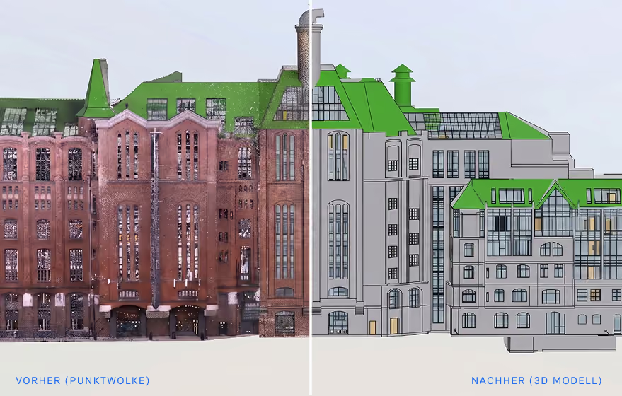
We created a comprehensive 3D survey for a shopping center in Hamburg dating back to 1875. The particular challenge of this project lay in the building's extremely complex structure with countless changes in floor levels.
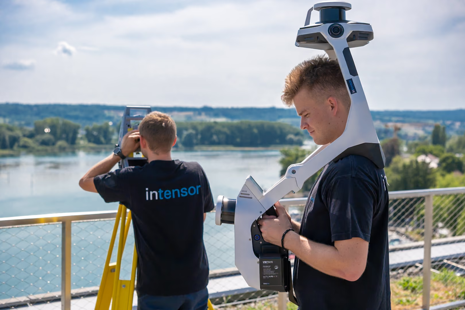
To guarantee millimeter-accurate as-built documentation, we utilized combined 3D scanning. By using tachymetric surveying, the VLX III mobile scanner, and the terrestrial Trimble X7, all interior surfaces, facades, and roof areas were captured seamlessly.
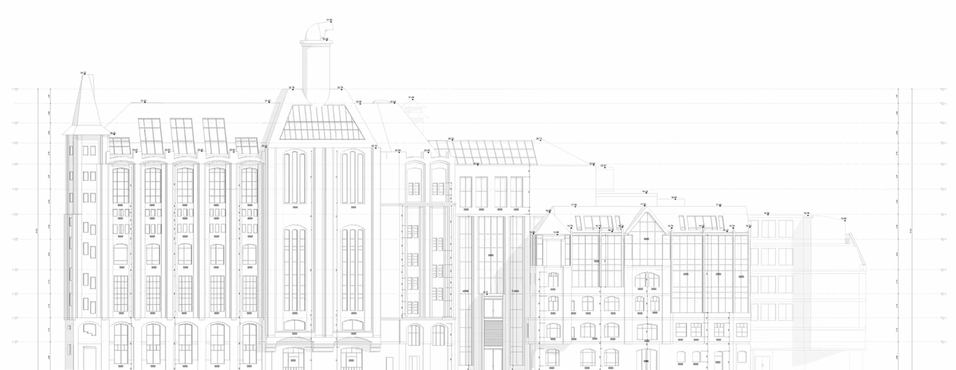
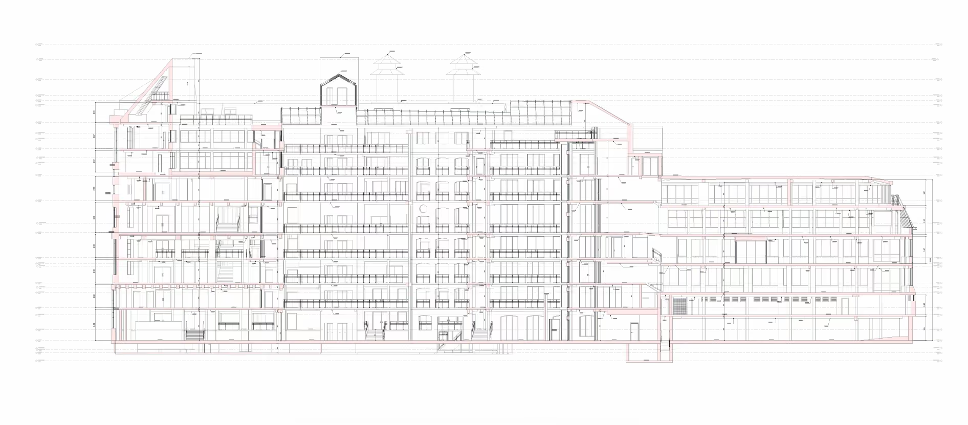
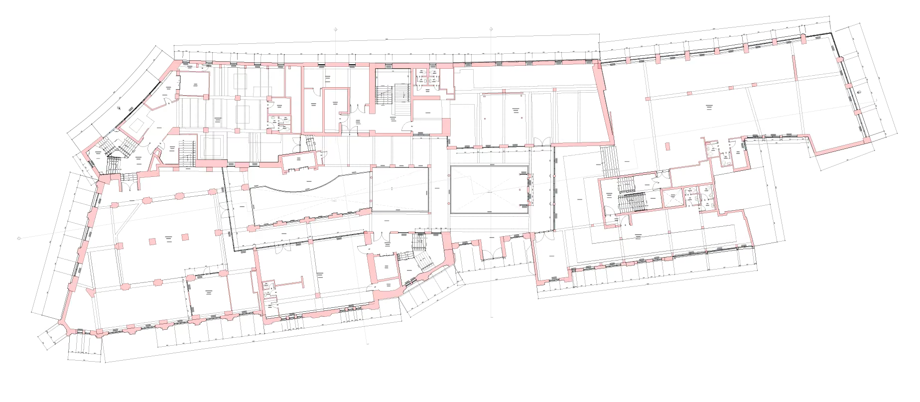
Production of all 2D planning documentation
The data obtained from this digital survey serves a dual purpose: it provides the precise 3D foundation for complex fire safety simulations and supplies architects with legally compliant 2D plans for all upcoming design and official approval processes.
Our services
Your questions about building digitization
Single-family home renovation
Comprehensive digital as-built documentation as an efficient foundation for renovation planning.

3D laser scanning with NavVis VLX III for precise 3D models and 2D planning documentation.

Interactive deployment and walkthrough via NavVis IVION.

horizontal, vertical, and free-form in 3D or floor plan view

The costs for digital measurement are eligible for funding directly via the Federal Funding for Efficient Buildings (BEG) as part of the overall project.