Fuera del rango de escaneo – Lamentablemente, esta página no se pudo encontrar
Volver al inicio
Volver al inicio

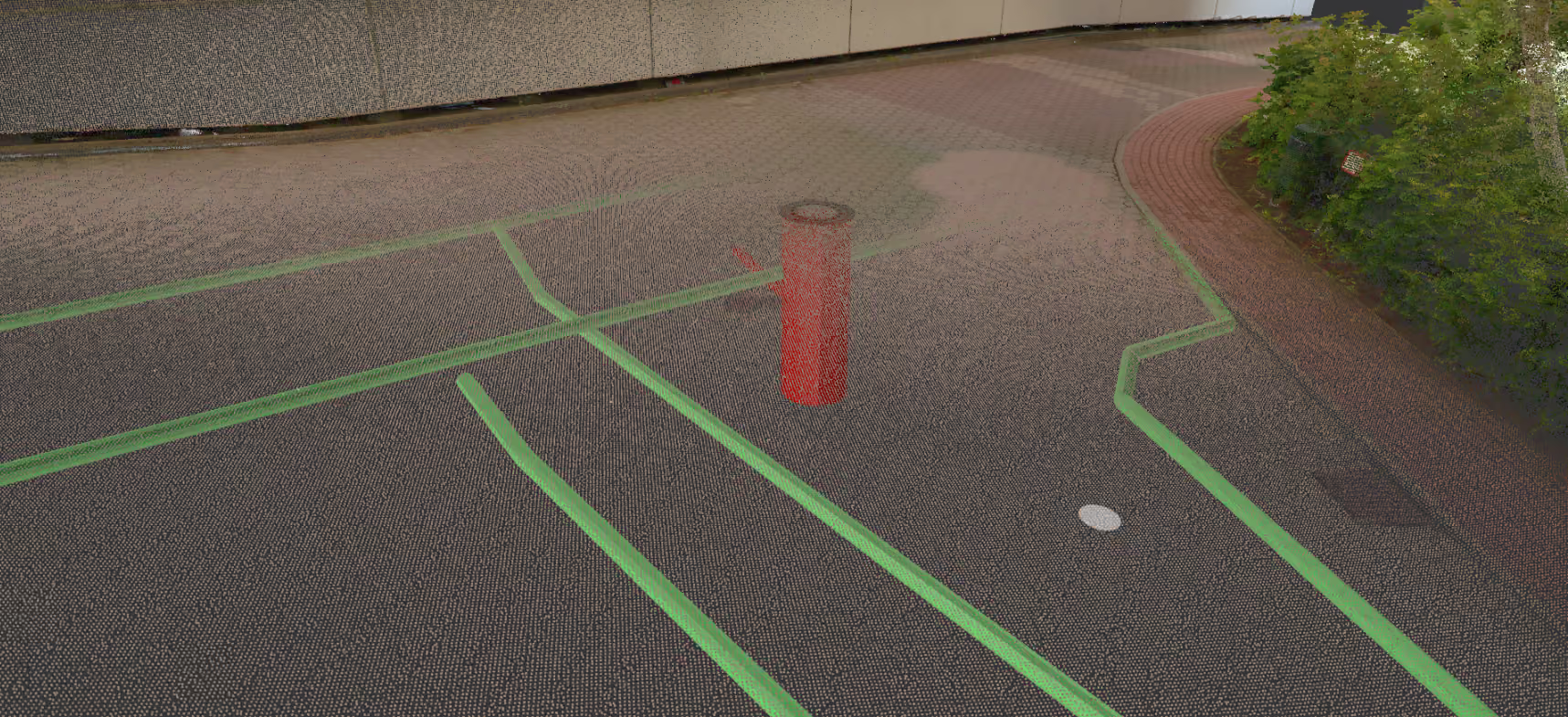
Horizontal position (X/Y) of the structure
Extent and shape of the installations
Depth (Z) in the ground
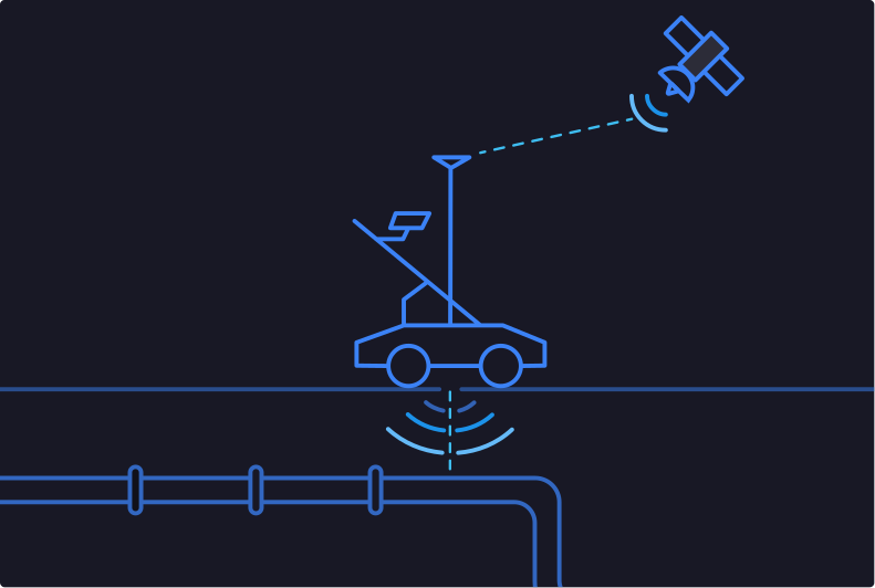
Using state-of-the-art 3D ground-penetrating radar technology, we scan the construction site in high resolution with satellite support, without the need for any ground disturbance.
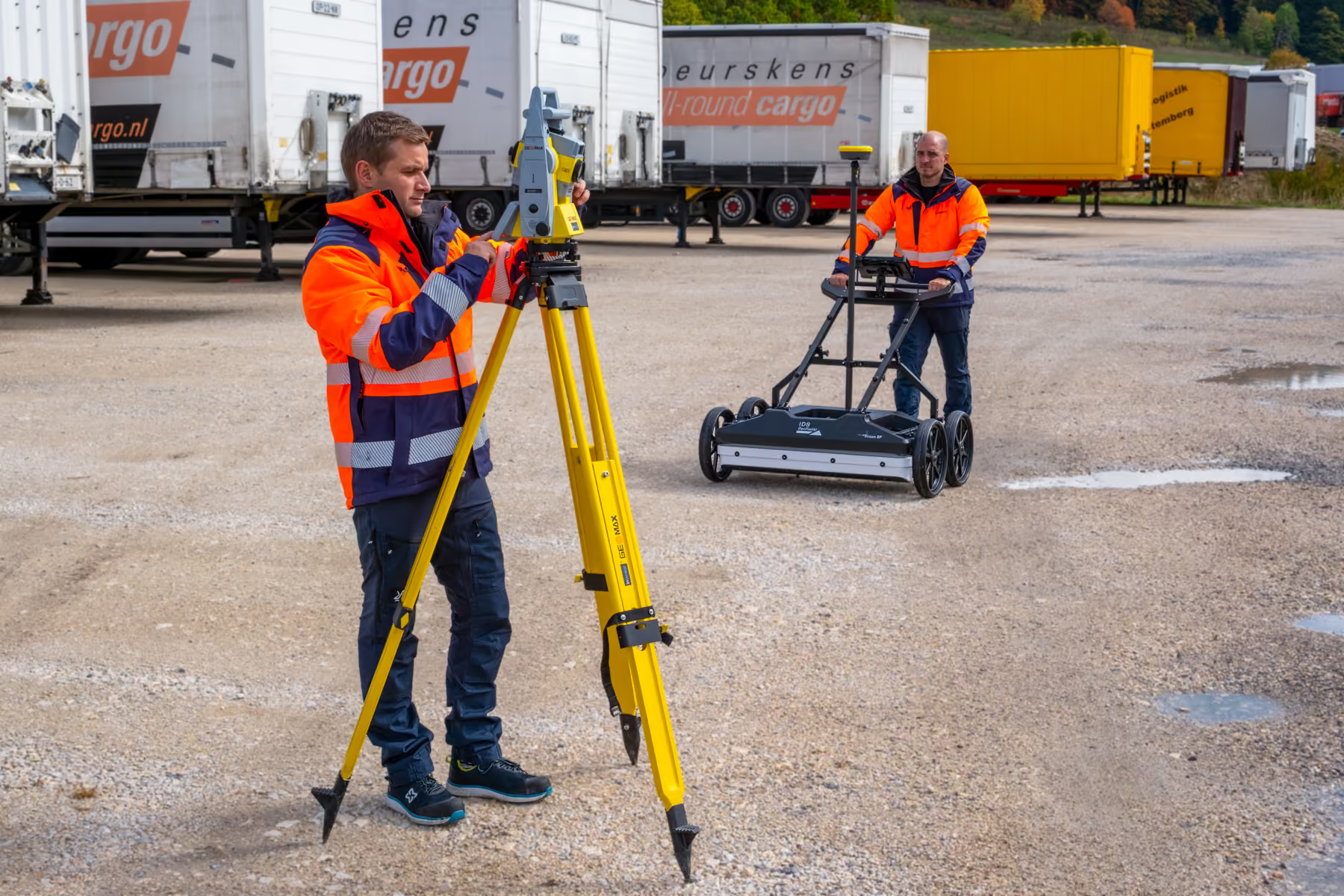
Our specialists then precisely analyze the collected raw data and, if required, perform a direct comparison with your existing site plans.

You receive fully georeferenced datasets (DWG, DXF, Shape) that integrate seamlessly into your existing CAD, GIS, or BIM systems.